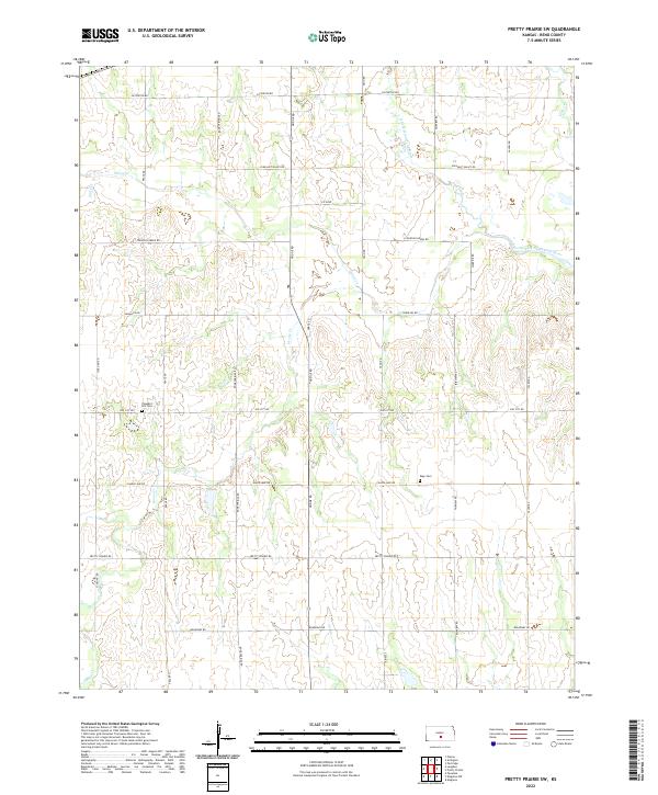
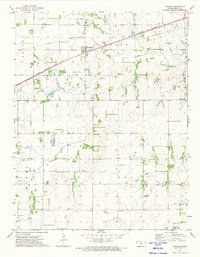
2022 Map of Pretty Prairie SW
USGS Topo · Published 2022About this map
The North Fork Ninnescah River and its tributary system define the agricultural landscape of this corner of Reno County. The terrain is a network of drainage ways including Wolf Cr, Silver Cr, and Goose Cr, which flow through a strictly gridded section-line road system. This 2022 survey illustrates the persistent rural character of the region, where the infrastructure is primarily geared toward land access via routes like Sun City Rd and Pretty Prairie Rd. Local history is anchored by two prominent rural burial grounds: Pleasant Hill Cem in the west and Sego Cem in the east. The map provides a contemporary view of the Public Land Survey System (PLSS) divisions that have dictated Kansas settlement patterns for over a century, showing the enduring boundaries of t25s r8w and surrounding townships.
Find a feature on this map
30 named features on this map. Tap any name to fly to it.
Don’t see what you’re looking for? This feature index may not catch every label — zoom into the map to look around manually.
Map Details
Editions of this 2022 Pretty Prairie SW Map
This is the sole edition of this map. No revisions or reprints were ever made.
Other maps of this area

1892 · Kingman
USGS Topo · 1:125,000

1894 · Kingman
USGS Topo · 1:125,000

1955 · Pratt
USGS Topo · 1:250,000

1959 · Pratt
USGS Topo · 1:250,000

1967 · Kingman NW
USGS Topo · 1:24,000
1967 · Kingman
USGS Topo · 1:24,000

1967 · Penalosa
USGS Topo · 1:24,000
1971 · Pretty Prairie
USGS Topo · 1:24,000
1971 · Pretty Prairie SW
USGS Topo · 1:24,000
1971 · Langdon
USGS Topo · 1:24,000