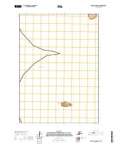
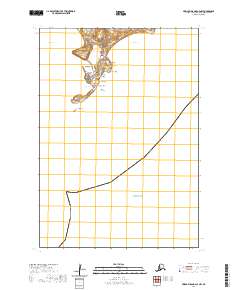
2020 Map of Pribilof Islands C-5 NE
USGS Topo · Published 2020About this map
Otter Island stands prominently in the remote waters of the Bering Sea, south of the primary settlement of St. Paul. This 2020 USGS survey of the Pribilof Islands captures the isolated maritime landscape, detailing the volcanic and coastal formations such as Crater Point and the adjacent Northwest Reef. The map provides a precise layout of the shoreline at Zapadni Point, where the land meets the cold northern waters. This region's geographic significance is defined by its role as a specialized ecosystem and a center for Aleut culture and history, reflected here through the careful mapping of remote outcroppings and nautical hazards that have long influenced life in the Aleutians West census area.
Find a feature on this map
9 named features on this map. Tap any name to fly to it.
Don’t see what you’re looking for? This feature index may not catch every label — zoom into the map to look around manually.
Map Details
Editions of this 2020 Pribilof Islands C-5 NE Map
This is the sole edition of this map. No revisions or reprints were ever made.
Other maps of this area
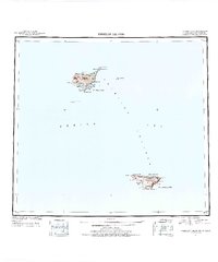
1948 · Pribilof Islands
USGS Topo · 1:250,000
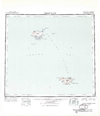
1949 · Pribilof Islands
USGS Topo · 1:250,000
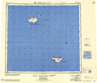
1958 · Pribilof Islands
USGS Topo · 1:250,000
1969 · Pribilof Islands
USGS Topo · 1:250,000
2001 · Saint Paul Island West
USGS Topo · 1:25,000
2020 · Pribilof Islands D-4 SW
USGS Topo · 1:25,000
2020 · Pribilof Islands D-5 SE
USGS Topo · 1:25,000
2020 · Pribilof Islands C-4 NW
USGS Topo · 1:25,000