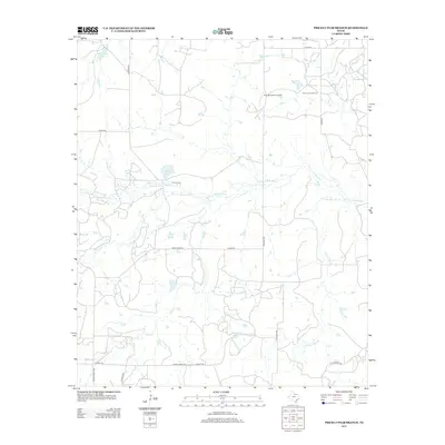
2012 Map of Prickly Pear Branch
USGS Topo · Published 2012About this map
The W Fork Trinity River and its various tributaries define the drainage patterns of this Young County landscape. This 2012 survey illustrates the intersection of traditional ranching geography with modern industry, notably featuring the Burns-Jones Oil Field and the private Hornady Ranch Airport. For those looking into local history or genealogy, the W Fork Cem remains a significant landmark near the river's path. The map also details essential water resources for the area, including McKinney Lake and Bridwell Lake, while a network of named rural roads like Andrews Rd and Prideaux Rd provide the primary connections between these remote properties and landmarks.
Find a feature on this map
22 named features on this map. Tap any name to fly to it.
Don’t see what you’re looking for? This feature index may not catch every label — zoom into the map to look around manually.
Map Details
Editions of this 2012 Prickly Pear Branch Map
This is the sole edition of this map. No revisions or reprints were ever made.
Other maps of this area

1931 · Archer City
USGS Topo · 1:62,500

1954 · Wichita Falls
USGS Topo · 1:250,000

1958 · Wichita Falls
USGS Topo · 1:250,000

1962 · Windthorst
USGS Topo · 1:24,000

1963 · Archer City East
USGS Topo · 1:24,000

1964 · Bobcat Bluff
USGS Topo · 1:24,000

1964 · Darnell Branch
USGS Topo · 1:24,000

1964 · True
USGS Topo · 1:24,000

1964 · Loving
USGS Topo · 1:24,000

1964 · Archer City West
USGS Topo · 1:24,000