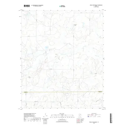
2019 Map of Prickly Pear Branch
USGS Topo · Published 2019About this map
The W-Fork Trinity River and its tributary, the S Fork Trinity River, converge here in a landscape defined by ranching and water management. Located at the boundary of Archer and Young Counties, this area reveals a network of private ranch roads like Garvey Ranch Rd and Rx Ranch Rd, supporting rural life and industry. For those researching local history, the West Fork Cem provides a specific point of genealogical interest near the river's path. Small reservoirs such as Bridwell Lake and McKinney Lake are scattered across the terrain, reflecting the region's reliance on water conservation for livestock. The presence of the Hornady Ranch Airport underscores the logistical needs of large-scale ranching in this part of North Texas.
Find a feature on this map
21 named features on this map. Tap any name to fly to it.
Don’t see what you’re looking for? This feature index may not catch every label — zoom into the map to look around manually.
Map Details
Editions of this 2019 Prickly Pear Branch Map
This is the sole edition of this map. No revisions or reprints were ever made.
Other maps of this area

1931 · Archer City
USGS Topo · 1:62,500

1954 · Wichita Falls
USGS Topo · 1:250,000

1958 · Wichita Falls
USGS Topo · 1:250,000

1962 · Windthorst
USGS Topo · 1:24,000

1963 · Archer City East
USGS Topo · 1:24,000

1964 · Bobcat Bluff
USGS Topo · 1:24,000

1964 · Darnell Branch
USGS Topo · 1:24,000

1964 · True
USGS Topo · 1:24,000

1964 · Loving
USGS Topo · 1:24,000

1964 · Archer City West
USGS Topo · 1:24,000