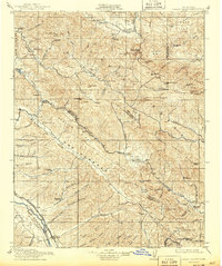
1915 Map of Priest Valley
USGS Topo · Published 1943About this map
New Idria serves as a focal point for mining activity in this corner of the California Coast Ranges, where cinnabar and coal deposits drew early industrial interest. The map documents a landscape defined by isolated ranching outposts and a network of one-room schoolhouses, such as Peachtree School and Hernandez School, which anchored small rural communities across the Mustang Ridge and San Lorenzo highlands. Along the southwestern edge, the Southern Pacific (Coast Line) railroad follows the Salinas River, facilitating the growth of San Ardo and San Lucas.
Find a feature on this map
114 named features on this map. Tap any name to fly to it.
Don’t see what you’re looking for? This feature index may not catch every label — zoom into the map to look around manually.
Map Details
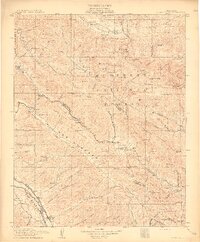
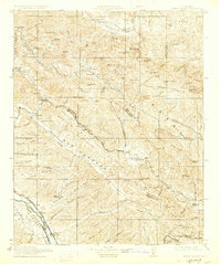
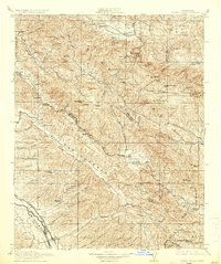
Editions of this 1915 Priest Valley Map
5 editions found
Other maps of this area

1912 · Coalinga
USGS Topo · 1:125,000

1912 · San Ardo
USGS Topo · 1:31,680

1913 · Panoche
USGS Topo · 1:125,000

1914 · Cholame
USGS Topo · 1:125,000

1915 · Priest Valley
USGS Topo · 1:125,000

1915 · Cholame
USGS Topo · 1:125,000

1917 · Cholame
USGS Topo · 1:125,000

1919 · San Miguel
USGS Topo · 1:62,500

1919 · King City
USGS Topo · 1:62,500

1919 · San Benito
USGS Topo · 1:62,500