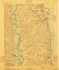
1910 Map of Prince Frederick
USGS Topo · Published 1910About this map
The Patuxent River and Chesapeake Bay define this Southern Maryland peninsula during a transitional period of coastal development and river-based commerce. The landscape is characterized by a dense network of water-to-land transfer points, including Magruder Ferry and numerous specialized landings such as White Landing, Milltown Landing, and Deep Landing. These sites illustrate the region's reliance on the river for transport prior to the full expansion of modern roads. Inland, the county seat at Prince Frederick serves as a central hub, while the northern part of the map shows the Chesapeake Beach RR terminating at the resort town of Chesapeake Beach. Unique place names like Parran Sandy Bottom and Cocktown provide specific genealogical markers for local family history, while coastal landmarks like Holland Point and Hog Pt Hog Island mark the evolving shoreline of the bay.
Find a feature on this map
77 named features on this map. Tap any name to fly to it.
Don’t see what you’re looking for? This feature index may not catch every label — zoom into the map to look around manually.
Map Details
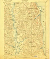
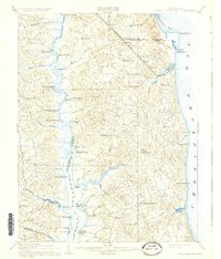
Editions of this 1910 Prince Frederick Map
3 editions found
Other maps of this area

1892 · Leonardtown
USGS Topo · 1:62,500

1892 · Drum Point
USGS Topo · 1:62,500

1892 · Prince Frederick
USGS Topo · 1:62,500

1892 · Brandywine
USGS Topo · 1:62,500

1892 · Owensville
USGS Topo · 1:62,500

1892 · Annapolis
USGS Topo · 1:62,500

1893 · Sharps Island
USGS Topo · 1:62,500

1894 · Wicomico
USGS Topo · 1:62,500

1895 · Prince Frederick
USGS Topo · 1:62,500

1895 · Wicomico
USGS Topo · 1:62,500