Loading...
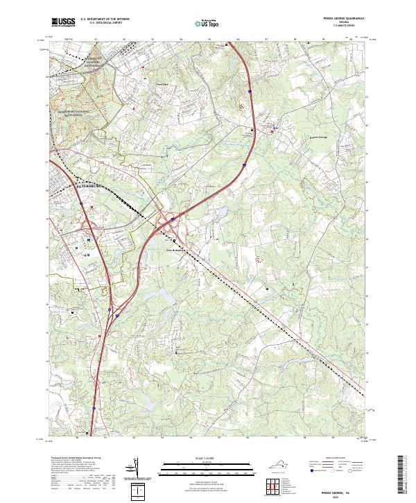
Loading map...2022 Map of Prince George
USGS Topo · Published 2022About this map
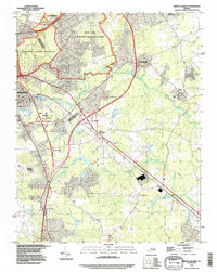
Petersburg National Battlefield dominates the northwestern portion of this 2022 survey, preserving the intricate landscape of the Siege of Petersburg. Historical markers and trail systems like Siege Road and the Harrison Creek Trl trace the movements of the 1864–1865 campaign. The map transitions from this protected historic site into the military infrastructure of Fort Lee and the rural administration at Prince George County Courthouse.
Find a feature on this map
180 named features on this map. Tap any name to fly to it.
Don’t see what you’re looking for? This feature index may not catch every label — zoom into the map to look around manually.
Map Details
Date Portrayed2022
Date Published2022
PublisherU.S. Geological Survey
Map TypeTopographic
Scale1:24000
Physical Dimensions24 x 29 inches
Editions of this 2022 Prince George Map
This is the sole edition of this map. No revisions or reprints were ever made.
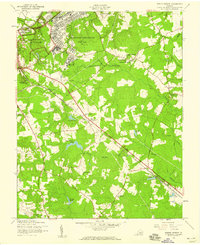
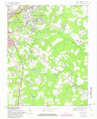
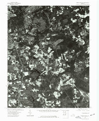
Historical Maps of Fort Gregg-Adams Through Time
5 maps found
Featured Locations
Source Details
SourceU.S. Geological Survey
CopyrightPublic Domain