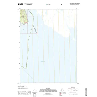
2018 Map of Prince Rupert C-2 NW
USGS Topo · Published 2018About this map
Sitklan Island stands as a prominent geographic feature at the maritime threshold between the United States and Canada. Situated within the southernmost reaches of the Tongass National Forest, this island is defined by its isolation and its role in marking the international boundary. The surrounding waters of the Pacific Ocean dominate the landscape, illustrating the remote coastal environment of the Alaska Ketchikan Gateway. This 2018 survey provides a clear view of the complex water-based borders and the topographical character of the island, including sections defined by the Public Land Survey System as t82s r99e. The map serves as a contemporary record of this international maritime boundary where the Alaskan panhandle meets British Columbia.
Find a feature on this map
6 named features on this map. Tap any name to fly to it.
Don’t see what you’re looking for? This feature index may not catch every label — zoom into the map to look around manually.
Map Details
Editions of this 2018 Prince Rupert C-2 NW Map
This is the sole edition of this map. No revisions or reprints were ever made.
Other maps of this area

1951 · Prince Rupert
USGS Topo · 1:250,000

1955 · Prince Rupert D-3
USGS Topo · 1:63,360

1955 · Prince Rupert D-2
USGS Topo · 1:63,360
1958 · Prince Rupert C-2 and C-3
USGS Topo · 1:63,360

1959 · Prince Rupert
USGS Topo · 1:250,000

1964 · Prince Rupert
USGS Topo · 1:250,000
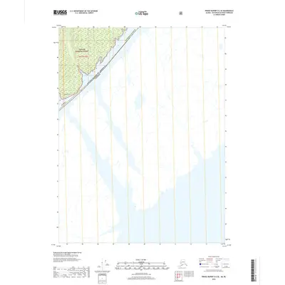
2018 · Prince Rupert D-2 SE
USGS Topo · 1:25,000
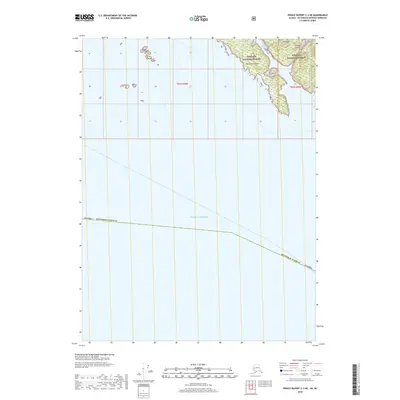
2018 · Prince Rupert C-3 NE
USGS Topo · 1:25,000
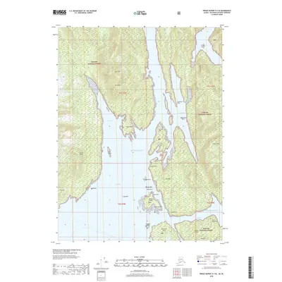
2018 · Prince Rupert D-3 SE
USGS Topo · 1:25,000
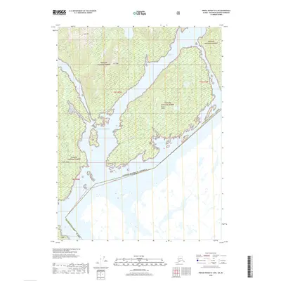
2018 · Prince Rupert D-2 SW
USGS Topo · 1:25,000