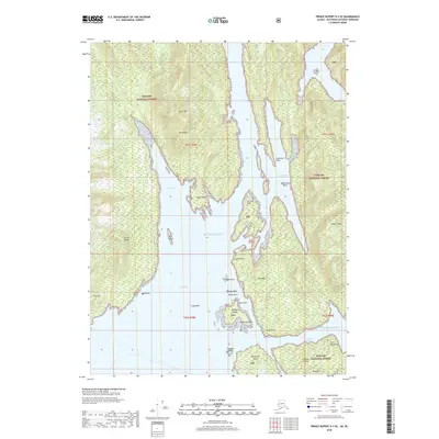
2018 Map of Prince Rupert D-3 SE
USGS Topo · Published 2018About this map
Tongass Island and its surrounding archipelago anchor this maritime landscape within the Tongass National Forest, where the coastal waters of the Pacific Ocean meet the intricate inlets of the Alaska Panhandle. The intricate shoreline is defined by hazardous navigation points such as Tongass Reef, Passage Rock, and Track Rock, guarding the entrance to Nakat Bay. To the south, Sitklan Island and Kanagunut Island overlook the Sitklan Passage, a critical waterway near the maritime boundary. The topography shifts from sea level to the prominent heights of Arm Mtn and Harbor Ridge, illustrating the steep, glaciated terrain of the region. This 2018 survey detail provides a clear view of the numerous points and islands, from Katakwa Point to Tingberg Island, that have historically shaped local navigation and traditional use in these waters.
Find a feature on this map
38 named features on this map. Tap any name to fly to it.
Don’t see what you’re looking for? This feature index may not catch every label — zoom into the map to look around manually.
Map Details
Editions of this 2018 Prince Rupert D-3 SE Map
This is the sole edition of this map. No revisions or reprints were ever made.
Other maps of this area

1951 · Prince Rupert
USGS Topo · 1:250,000

1955 · Prince Rupert D-3
USGS Topo · 1:63,360

1955 · Prince Rupert D-2
USGS Topo · 1:63,360
1958 · Prince Rupert C-2 and C-3
USGS Topo · 1:63,360

1959 · Prince Rupert
USGS Topo · 1:250,000

1964 · Prince Rupert
USGS Topo · 1:250,000
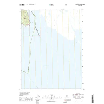
2018 · Prince Rupert C-2 NW
USGS Topo · 1:25,000
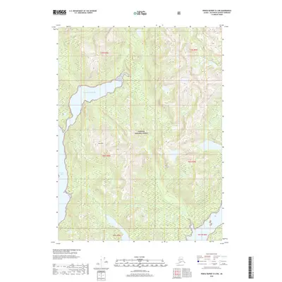
2018 · Prince Rupert D-2 NW
USGS Topo · 1:25,000
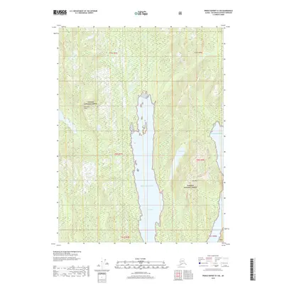
2018 · Prince Rupert D-3 NE
USGS Topo · 1:25,000
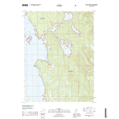
2018 · Prince Rupert D-3 NW
USGS Topo · 1:25,000