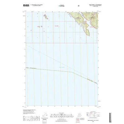
2018 Map of Prince Rupert C-3 NE
USGS Topo · Published 2018About this map
Tongass National Forest covers the scattered landmasses at the southernmost reaches of the Alaska Panhandle, where the rugged islands of the Alexander Archipelago meet the open Pacific Ocean. This coastal boundary region is defined by deep waterways and secluded islands, most notably Sitklan Island and Kanagunut Island, which are separated by the narrow Lincoln Channel. The terrain on these islands rises to prominent heights such as Klan Hill, providing a glimpse into the maritime geography of the Ketchikan Gateway area. The presence of the international boundary line between Alaska and British Columbia underscores the geopolitical significance of these remote waters, which served as critical navigation points for coastal trade and fishing long before modern mapping.
Find a feature on this map
8 named features on this map. Tap any name to fly to it.
Don’t see what you’re looking for? This feature index may not catch every label — zoom into the map to look around manually.
Map Details
Editions of this 2018 Prince Rupert C-3 NE Map
This is the sole edition of this map. No revisions or reprints were ever made.
Other maps of this area

1951 · Prince Rupert
USGS Topo · 1:250,000

1955 · Prince Rupert D-3
USGS Topo · 1:63,360

1955 · Prince Rupert D-2
USGS Topo · 1:63,360
1958 · Prince Rupert C-2 and C-3
USGS Topo · 1:63,360

1959 · Prince Rupert
USGS Topo · 1:250,000

1964 · Prince Rupert
USGS Topo · 1:250,000
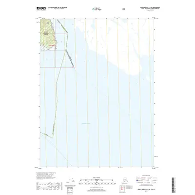
2018 · Prince Rupert C-2 NW
USGS Topo · 1:25,000
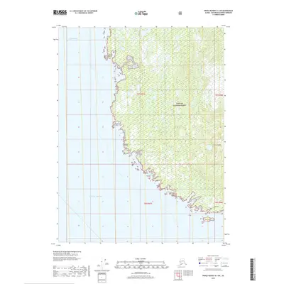
2018 · Prince Rupert D-3 SW
USGS Topo · 1:25,000
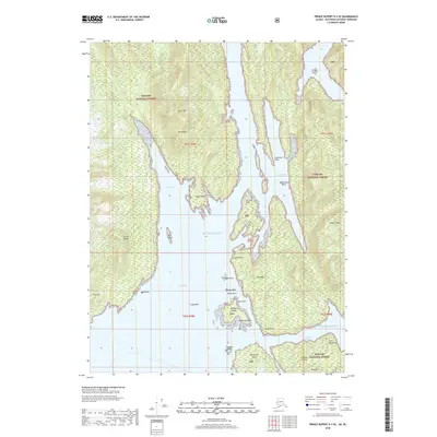
2018 · Prince Rupert D-3 SE
USGS Topo · 1:25,000
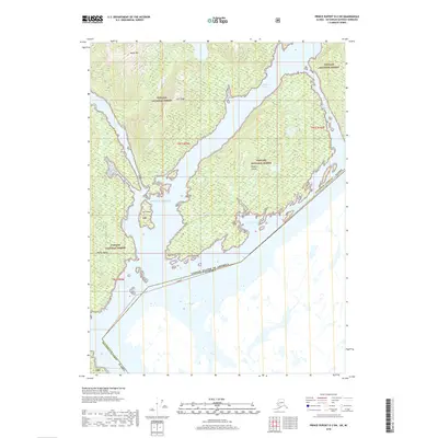
2018 · Prince Rupert D-2 SW
USGS Topo · 1:25,000