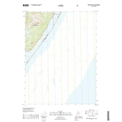
2018 Map of Prince Rupert D-1 NW
USGS Topo · Published 2018About this map
Tongass National Forest dominates the northwestern corner of this survey, where the steep terrain of the Alexander Archipelago meets the sea. The international boundary between the United States and Canada runs through the waters of Pearse Canal, a narrow waterway separating the Alaskan coast from British Columbia. The landscape is defined by coastal peaks like Gap Mtn, which rises sharply above the Pacific Ocean. This 2018 survey documents a remote stretch of the Pacific Northwest shoreline where the maritime boundary is the primary human demarcation. Significant geographic features include Hidden Inlet and the nearby Hidden Point, providing markers for navigation along this rugged stretch of the Ketchikan Gateway Borough's maritime frontier.
Find a feature on this map
13 named features on this map. Tap any name to fly to it.
Don’t see what you’re looking for? This feature index may not catch every label — zoom into the map to look around manually.
Map Details
Editions of this 2018 Prince Rupert D-1 NW Map
This is the sole edition of this map. No revisions or reprints were ever made.
Other maps of this area

1951 · Prince Rupert
USGS Topo · 1:250,000

1952 · Ketchikan
USGS Topo · 1:250,000

1955 · Ketchikan A-2
USGS Topo · 1:63,360

1955 · Ketchikan A-1
USGS Topo · 1:63,360

1955 · Prince Rupert D-2
USGS Topo · 1:63,360
1955 · Prince Rupert D-1
USGS Topo · 1:63,360

1955 · Ketchikan
USGS Topo · 1:250,000

1959 · Prince Rupert
USGS Topo · 1:250,000

1964 · Prince Rupert
USGS Topo · 1:250,000
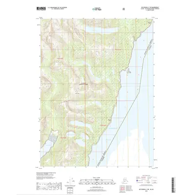
2018 · Ketchikan A-1 SW
USGS Topo · 1:25,000