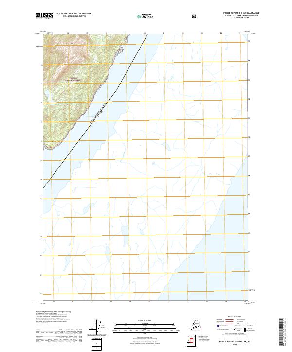
2021 Map of Prince Rupert D-1 NW
USGS Topo · Published 2021About this map
Tongass National Forest covers the steep coastal terrain along the border between the United States of America and Canada. The landscape is dominated by the waters of the Pearse Canal, which defines the international boundary line. To the west, the topography rises sharply toward the summit of Gap Mtn, overlooking the secluded waters of Hidden Inlet. The map illustrates a transitional marine and forest environment where the shoreline at Hidden Point meets the dense timberlands of the national forest. Because of its location on the international boundary, the area serves as a primary geographic marker for the southeastern panhandle, showing the intersection of maritime passage and the high coastal ridges that characterize the Alaska-British Columbia frontier.
Find a feature on this map
9 named features on this map. Tap any name to fly to it.
Don’t see what you’re looking for? This feature index may not catch every label — zoom into the map to look around manually.
Map Details
Editions of this 2021 Prince Rupert D-1 NW Map
This is the sole edition of this map. No revisions or reprints were ever made.
Other maps of this area

1951 · Prince Rupert
USGS Topo · 1:250,000

1952 · Ketchikan
USGS Topo · 1:250,000

1955 · Ketchikan A-2
USGS Topo · 1:63,360

1955 · Ketchikan A-1
USGS Topo · 1:63,360

1955 · Prince Rupert D-2
USGS Topo · 1:63,360
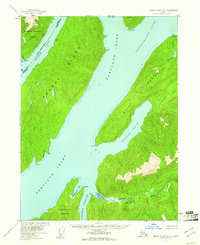
1955 · Prince Rupert D-1
USGS Topo · 1:63,360

1955 · Ketchikan
USGS Topo · 1:250,000

1959 · Prince Rupert
USGS Topo · 1:250,000

1964 · Prince Rupert
USGS Topo · 1:250,000
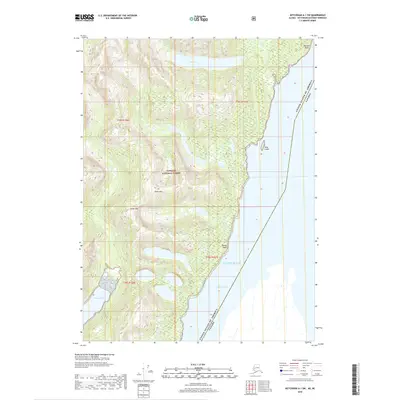
2018 · Ketchikan A-1 SW
USGS Topo · 1:25,000