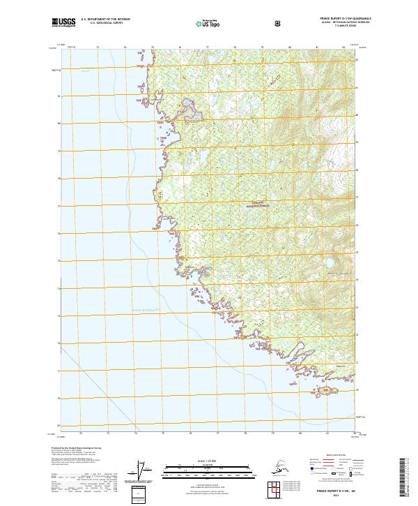
2021 Map of Prince Rupert D-3 SW
USGS Topo · Published 2021About this map
The coastal wilderness of the Tongass National Forest dominates this maritime survey, where the terrestrial landscape meets the complex waterways of Southeast Alaska. This map documents a rugged shoreline defined by the Revillagigedo Channel and the expansive Dixon Entrance. Points of navigation and coastal geography are meticulously noted, from the northern reach of Lakekta Point down to the southern extremity at Cape Fox. The interior is characterized by significant topographic shifts, most notably at the high ground of Harry Saddle, which overlooks the surrounding timberland and scattered wetlands. The irregular coastline provides natural shelter at Boat Harbor and several other inlets, while Fox Island sits just offshore as a sentinel at the southern boundary. This map captures the intersection of forest service management and the traditional coastal navigation routes essential to this region.
Find a feature on this map
15 named features on this map. Tap any name to fly to it.
Don’t see what you’re looking for? This feature index may not catch every label — zoom into the map to look around manually.
Map Details
Editions of this 2021 Prince Rupert D-3 SW Map
This is the sole edition of this map. No revisions or reprints were ever made.
Other maps of this area

1951 · Prince Rupert
USGS Topo · 1:250,000

1955 · Prince Rupert D-3
USGS Topo · 1:63,360
1955 · Prince Rupert D-4
USGS Topo · 1:63,360
1958 · Prince Rupert C-2 and C-3
USGS Topo · 1:63,360

1959 · Prince Rupert
USGS Topo · 1:250,000

1964 · Prince Rupert
USGS Topo · 1:250,000
2018 · Prince Rupert D-3 NE
USGS Topo · 1:25,000
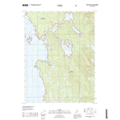
2018 · Prince Rupert D-3 NW
USGS Topo · 1:25,000
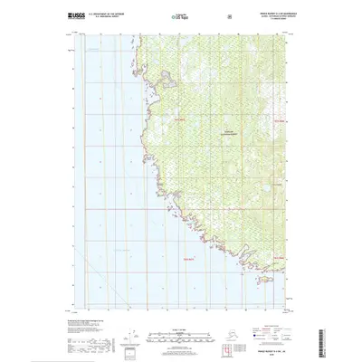
2018 · Prince Rupert D-3 SW
USGS Topo · 1:25,000
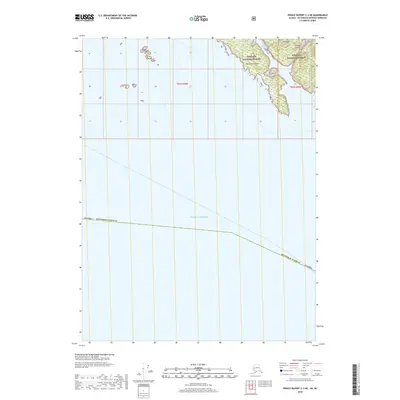
2018 · Prince Rupert C-3 NE
USGS Topo · 1:25,000