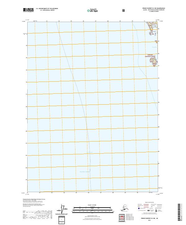
2021 Map of Prince Rupert D-4 NE
USGS Topo · Published 2021About this map
The Revillagigedo Channel dominates this coastal landscape, serving as a primary maritime corridor through the Inside Passage. The map documents the northeastern reach of this waterway as it meets the Pacific Ocean, a critical junction for navigation in the Ketchikan Gateway Borough. Along the eastern shoreline, the protected waters of Foggy Bay sit tucked behind the De Long Islands, providing a sheltered coastal environment within the Tongass National Forest. This 2021 survey illustrates the intersection of deep-water channels and the rugged island geography that characterizes the southern panhandle. The land area is almost entirely designated as part of the Tongass National Forest, with Kirk Point marking a distinct topographic feature on the northern edge of the islands. The lack of road infrastructure underscores the maritime nature of this region, where the coastline and islands are the primary points of reference.
Find a feature on this map
11 named features on this map. Tap any name to fly to it.
Don’t see what you’re looking for? This feature index may not catch every label — zoom into the map to look around manually.
Map Details
Editions of this 2021 Prince Rupert D-4 NE Map
This is the sole edition of this map. No revisions or reprints were ever made.
Other maps of this area

1951 · Prince Rupert
USGS Topo · 1:250,000

1952 · Ketchikan
USGS Topo · 1:250,000

1955 · Prince Rupert D-3
USGS Topo · 1:63,360

1955 · Ketchikan A-4
USGS Topo · 1:63,360
1955 · Prince Rupert D-4
USGS Topo · 1:63,360

1955 · Ketchikan A-3
USGS Topo · 1:63,360

1955 · Ketchikan
USGS Topo · 1:250,000

1959 · Prince Rupert
USGS Topo · 1:250,000

1964 · Prince Rupert
USGS Topo · 1:250,000
2017 · Ketchikan A-4 SE
USGS Topo · 1:25,000