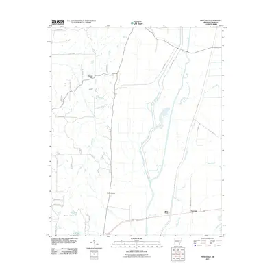
2011 Map of Princedale
USGS Topo · Published 2011About this map
Saint Francis Bay and its complex network of sloughs and floodway infrastructure dominate this portion of the Arkansas Delta in the early 21st century. The landscape is defined by the heavy engineering of the St Francis Levee Rd and the broad, slow-moving waters of Copeland Slough, Magot Slough, and Wolf Slough. These waterways dictate the placement of small rural communities and family homesteads that have persisted since the late 19th century.
Find a feature on this map
45 named features on this map. Tap any name to fly to it.
Don’t see what you’re looking for? This feature index may not catch every label — zoom into the map to look around manually.
Map Details
Editions of this 2011 Princedale Map
This is the sole edition of this map. No revisions or reprints were ever made.
Other maps of this area

1939 · Vanndale
USGS Topo · 1:62,500

1939 · Wynne
USGS Topo · 1:62,500

1940 · Princedale
USGS Topo · 1:62,500

1940 · Whitmore
USGS Topo · 1:62,500

1953 · Memphis
USGS Topo · 1:250,000

1956 · Memphis
USGS Topo · 1:250,000

1956 · Whitmore
USGS Topo · 1:62,500

1956 · Princedale
USGS Topo · 1:62,500

1958 · Wynne
USGS Topo · 1:62,500

1958 · Vanndale
USGS Topo · 1:62,500