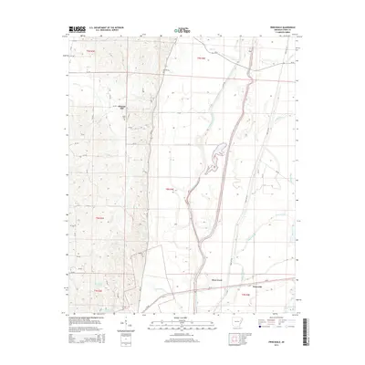
2014 Map of Princedale
USGS Topo · Published 2014About this map
The low-lying wetlands of the St. Francis River basin define this portion of Cross County, where complex drainage patterns are marked by features like Saint Francis Bay and Wolf Slough. Settled areas like Pleasant Hill and Princedale sit along the higher ground and major road corridors, including Us-64, which cuts through the southern section of the map. For those tracing family history, the presence of Akins Cem near the northern hills and Harefarm Cem further south provides concrete points of reference for earlier generations of inhabitants.
Find a feature on this map
53 named features on this map. Tap any name to fly to it.
Don’t see what you’re looking for? This feature index may not catch every label — zoom into the map to look around manually.
Map Details
Editions of this 2014 Princedale Map
This is the sole edition of this map. No revisions or reprints were ever made.
Other maps of this area

1939 · Vanndale
USGS Topo · 1:62,500

1939 · Wynne
USGS Topo · 1:62,500

1940 · Princedale
USGS Topo · 1:62,500

1940 · Whitmore
USGS Topo · 1:62,500

1953 · Memphis
USGS Topo · 1:250,000

1956 · Memphis
USGS Topo · 1:250,000

1956 · Whitmore
USGS Topo · 1:62,500

1956 · Princedale
USGS Topo · 1:62,500

1958 · Wynne
USGS Topo · 1:62,500

1958 · Vanndale
USGS Topo · 1:62,500