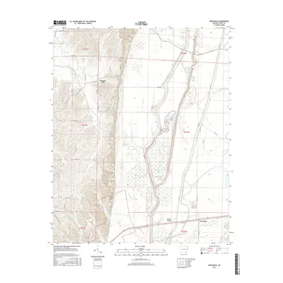
2017 Map of Princedale
USGS Topo · Published 2017About this map
Princedale and Pleasant Hill anchor this rural landscape in Cross County, where the Crowley's Ridge terrain meets the low-lying wetlands of the Mississippi Delta. The transition is marked by the presence of Saint Francis Bay and an intricate network of drainage features including Magot Slough, Copeland Slough, and Lindley Slough. This 2017 survey reflects the persistent agricultural character of the region, defined by long country roads like Akin Cemetery Rd and Johnny Mays Rd that connect family-named sites. Genealogists will find interest in the documented locations of Akins Cem and Harefarm Cem, while recreational points like Hunter Res (Club Lake) and the Baptist Youth Camp Rd suggest the modern land use of the area's many waterways and reservoirs.
Find a feature on this map
56 named features on this map. Tap any name to fly to it.
Don’t see what you’re looking for? This feature index may not catch every label — zoom into the map to look around manually.
Map Details
Editions of this 2017 Princedale Map
This is the sole edition of this map. No revisions or reprints were ever made.
Other maps of this area

1939 · Vanndale
USGS Topo · 1:62,500

1939 · Wynne
USGS Topo · 1:62,500

1940 · Princedale
USGS Topo · 1:62,500

1940 · Whitmore
USGS Topo · 1:62,500

1953 · Memphis
USGS Topo · 1:250,000

1956 · Memphis
USGS Topo · 1:250,000

1956 · Whitmore
USGS Topo · 1:62,500

1956 · Princedale
USGS Topo · 1:62,500

1958 · Wynne
USGS Topo · 1:62,500

1958 · Vanndale
USGS Topo · 1:62,500