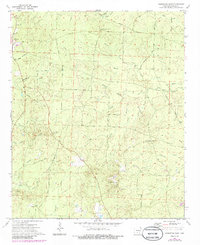
1973 Map of Princeton East
USGS Topo · Published 1986About this map
Princeton serves as the primary hub in this portion of Dallas County, where the historic Princeton Cem and local congregations at Beulah Ch and St Johns Ch anchor the community. The landscape is defined by a dense network of creek drainages including Boyd Creek, Brooks Creek, and the winding White Oak Creek. These watercourses dictate the placement of early routes such as Horniday Road and Red Mays Road.
Find a feature on this map
45 named features on this map. Tap any name to fly to it.
Don’t see what you’re looking for? This feature index may not catch every label — zoom into the map to look around manually.
Map Details
Editions of this 1973 Princeton East Map
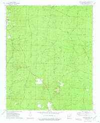
2 editions found
Other maps of this area

1903 · Camden
USGS Topo · 1:125,000

1953 · El Dorado
USGS Topo · 1:250,000

1955 · Little Rock
USGS Topo · 1:250,000

1956 · Little Rock
USGS Topo · 1:250,000

1957 · El Dorado
USGS Topo · 1:250,000

1958 · El Dorado
USGS Topo · 1:250,000

1960 · El Dorado
USGS Topo · 1:250,000

1960 · Little Rock
USGS Topo · 1:250,000

1964 · Little Rock
USGS Topo · 1:250,000

1964 · Bunn
USGS Topo · 1:24,000