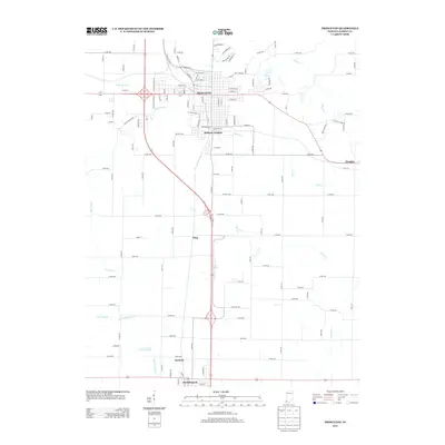
2013 Map of Princeton
USGS Topo · Published 2013About this map
The city of Princeton serves as the central hub of this southwestern Indiana landscape, where established residential grids transition into a complex network of agricultural drainage. Water management is a defining characteristic of the terrain, evidenced by an extensive system of engineered waterways like McCarty Ditch, Brown Ditch, and McGary Ditch that support the surrounding farmland. These ditches feed into natural systems such as Richland Cr and Pigeon Cr, illustrating the intensive modification of the local hydrology for regional industry and agriculture.
Find a feature on this map
108 named features on this map. Tap any name to fly to it.
Don’t see what you’re looking for? This feature index may not catch every label — zoom into the map to look around manually.
Map Details
Editions of this 2013 Princeton Map
This is the sole edition of this map. No revisions or reprints were ever made.
Other maps of this area

1901 · Princeton
USGS Topo · 1:62,500

1901 · Haubstadt
USGS Topo · 1:62,500

1902 · Ditney
USGS Topo · 1:125,000

1902 · Boonville
USGS Topo · 1:62,500

1903 · Haubstadt
USGS Topo · 1:62,500

1903 · Petersburg
USGS Topo · 1:62,500

1903 · Princeton
USGS Topo · 1:62,500

1903 · Patoka
USGS Topo · 1:125,000

1956 · Vincennes
USGS Topo · 1:250,000

1957 · Vincennes
USGS Topo · 1:250,000