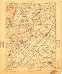
1906 Map of Princeton
USGS Topo · Published 1906About this map
The Delaware and Raritan Canal carves a critical industrial path through this landscape, paralleling the Millstone River as it winds northward past Griggstown and Blackwells Mills. At the heart of the region, Princeton is a center of gravity surrounded by an intricate web of transportation, where the Pennsylvania Railroad and the New Jersey Electric Traction line intersect the local geography. Small agricultural and commuter hubs like Rocky Hill, Monmouth Junction, and Belle Mead are firmly established, linked by a dense network of watercourses including Stony Brook and Beden Brook. The map reveals a highly developed corridor of early 20th-century New Jersey, transitioning from the elevation of the Sand Hills to the lowlands near Pigeon Swamp. Local history is embedded in the numerous smaller settlements such as Plainsboro and Skillman, reflecting a period of significant growth at the junction of Somerset, Mercer, and Middlesex counties.
Find a feature on this map
102 named features on this map. Tap any name to fly to it.
Don’t see what you’re looking for? This feature index may not catch every label — zoom into the map to look around manually.
Map Details
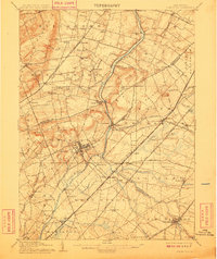
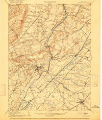
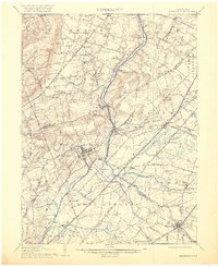
Editions of this 1906 Princeton Map
4 editions found
Other maps of this area

1888 · Plainfield
USGS Topo · 1:62,500

1888 · Bordentown
USGS Topo · 1:62,500

1888 · New Brunswick
USGS Topo · 1:62,500

1888 · Princeton
USGS Topo · 1:62,500

1888 · Cassville
USGS Topo · 1:62,500

1890 · High Bridge
USGS Topo · 1:62,500

1890 · Lambertville
USGS Topo · 1:62,500

1890 · Burlington
USGS Topo · 1:62,500

1891 · Somerville
USGS Topo · 1:62,500

1891 · Lambertville
USGS Topo · 1:62,500
Featured Places
- Hamilton Township, NJ
- Franklin Township, NJ
- South Brunswick, NJ
- North Brunswick Township, NJ
- Hillsborough Township, NJ