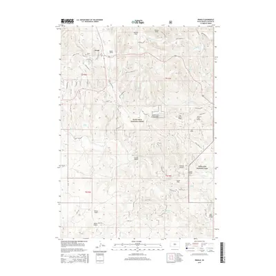
2015 Map of Pringle
USGS Topo · Published 2015About this map
Pringle serves as the central hub of this survey, situated where the Burlington St rail line and CO Hwy 315 intersect the upper reaches of Beaver Cr. The settlement is bordered by the sprawling timberlands of the Black Hills National Forest, a landscape defined by deep drainage systems like Wildcat Canyon and Shirttail Canyon. To the east, the map transitions into the protected territory of Wind Cave Nat Park, where unique geological formations such as Fossil Ridge and Theater Ridge rise above the Cold Brook drainage.
Find a feature on this map
64 named features on this map. Tap any name to fly to it.
Don’t see what you’re looking for? This feature index may not catch every label — zoom into the map to look around manually.
Map Details
Editions of this 2015 Pringle Map
This is the sole edition of this map. No revisions or reprints were ever made.
Other maps of this area

1894 · Hermosa
USGS Topo · 1:125,000

1896 · Oelrichs
USGS Topo · 1:125,000

1896 · Harney Peak
USGS Topo · 1:125,000

1900 · Oelrichs
USGS Topo · 1:125,000

1901 · Hermosa
USGS Topo · 1:125,000

1901 · Harney Peak
USGS Topo · 1:125,000

1902 · Edgemont
USGS Topo · 1:125,000

1950 · Hot Springs
USGS Topo · 1:24,000

1950 · Minnekahta
USGS Topo · 1:24,000

1951 · Minnekahta NE
USGS Topo · 1:24,000