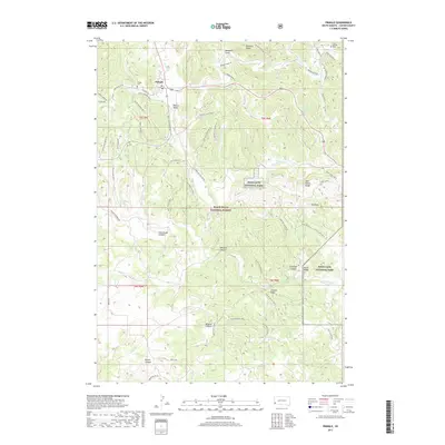
2017 Map of Pringle
USGS Topo · Published 2017About this map
Pringle serves as the primary settlement in this portion of Custer County, situated near the headwaters of Beaver Cr. The landscape is defined by the transition from open flats like Hopkins Flats to the complex drainages of the southern Black Hills. This area includes a significant portion of Wind Cave National Park and the Black Hills National Forest, where the terrain rises toward landmarks such as the Twin Sisters Range and Elk Knob.
Find a feature on this map
71 named features on this map. Tap any name to fly to it.
Don’t see what you’re looking for? This feature index may not catch every label — zoom into the map to look around manually.
Map Details
Editions of this 2017 Pringle Map
This is the sole edition of this map. No revisions or reprints were ever made.
Other maps of this area

1894 · Hermosa
USGS Topo · 1:125,000

1896 · Oelrichs
USGS Topo · 1:125,000

1896 · Harney Peak
USGS Topo · 1:125,000

1900 · Oelrichs
USGS Topo · 1:125,000

1901 · Hermosa
USGS Topo · 1:125,000

1901 · Harney Peak
USGS Topo · 1:125,000

1902 · Edgemont
USGS Topo · 1:125,000

1950 · Hot Springs
USGS Topo · 1:24,000

1950 · Minnekahta
USGS Topo · 1:24,000

1951 · Minnekahta NE
USGS Topo · 1:24,000