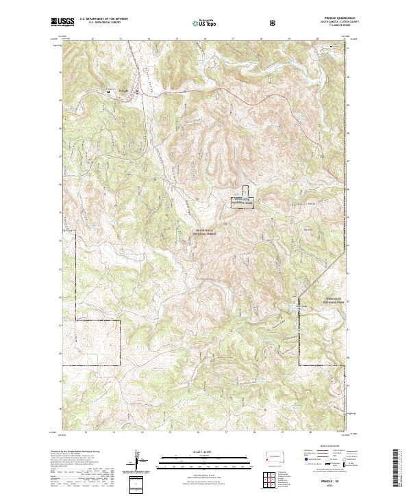
2021 Map of Pringle
USGS Topo · Published 2021About this map
Pringle and the surrounding southern Black Hills are depicted here during a period of modern recreational and conservation management. This landscape is defined by the transition from the settlement at Pringle to the protected boundaries of Wind Cave National Park and the Black Hills National Forest. The map detail highlights an intricate network of forest roads and canyons, including Shirt Tail Canyon and Wildcat Canyon, alongside the repurposed route of the George S. Mickelson Trl. Numerous water sources like Rifle Pit Spring and Witch Spring suggest the historical importance of water for early ranching and mining operations, such as the Rifle Pit located east of the main town site. High points like Elk Knob and the Twin Sisters Range offer significant topography within the national park territory.
Find a feature on this map
72 named features on this map. Tap any name to fly to it.
Don’t see what you’re looking for? This feature index may not catch every label — zoom into the map to look around manually.
Map Details
Editions of this 2021 Pringle Map
This is the sole edition of this map. No revisions or reprints were ever made.
Other maps of this area

1894 · Hermosa
USGS Topo · 1:125,000

1896 · Oelrichs
USGS Topo · 1:125,000

1896 · Harney Peak
USGS Topo · 1:125,000

1900 · Oelrichs
USGS Topo · 1:125,000

1901 · Hermosa
USGS Topo · 1:125,000

1901 · Harney Peak
USGS Topo · 1:125,000

1902 · Edgemont
USGS Topo · 1:125,000

1950 · Hot Springs
USGS Topo · 1:24,000

1950 · Minnekahta
USGS Topo · 1:24,000

1951 · Minnekahta NE
USGS Topo · 1:24,000