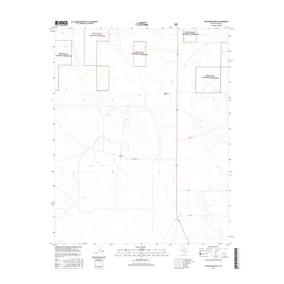
2016 Map of Pritchard Ranch
USGS Topo · Published 2016About this map
The Rita Blanca National Grassland dominates the northern reaches of this Dallam County landscape, where the open prairie is defined by large-scale conservation and ranching. The namesake Pritchard Ranch is situated near the center of the sheet, connected by a network of local roads including Pritchard Ln and Bowers Ln that segment the high plains. This map documents a region characterized by its expansive land management and cattle-ranching legacy, with the ephemeral Red Cow Draw carving a subtle drainage path through the terrain. The presence of named thoroughfares like Dye Ln and Att Ln underscores the continuing importance of family-named corridors in navigating this corner of the Texas Panhandle.
Find a feature on this map
7 named features on this map. Tap any name to fly to it.
Don’t see what you’re looking for? This feature index may not catch every label — zoom into the map to look around manually.
Map Details
Editions of this 2016 Pritchard Ranch Map
This is the sole edition of this map. No revisions or reprints were ever made.
Other maps of this area

1954 · Dalhart
USGS Topo · 1:250,000

1958 · Dalhart
USGS Topo · 1:250,000

1962 · Dalhart
USGS Topo · 1:250,000

1973 · Stratford 2 NW
USGS Topo · 1:24,000

1973 · Tovrea Ranch
USGS Topo · 1:24,000

1973 · Bolin NE
USGS Topo · 1:24,000

1973 · Bolin
USGS Topo · 1:24,000
1973 · Coldwater West
USGS Topo · 1:24,000

1973 · Coldwater East
USGS Topo · 1:24,000
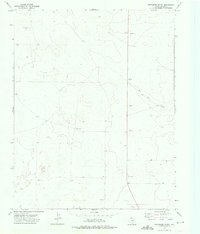
1973 · Pritchard Ranch
USGS Topo · 1:24,000