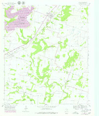
1956 Map of Proctor
USGS Topo · Published 1979About this map
The Proctor Lake reservoir dominates the northwestern corner of this Comanche County landscape, where the Leon River and Rush Creek converge. The Atchison Topeka and Santa Fe railroad cuts a diagonal path through the terrain, linking the small community of Proctor with the settlement at Hasse. This mid-century survey captures a rural Texas economy transitioning with the managed waters of the Leon River valley.
Find a feature on this map
22 named features on this map. Tap any name to fly to it.
Don’t see what you’re looking for? This feature index may not catch every label — zoom into the map to look around manually.
Map Details
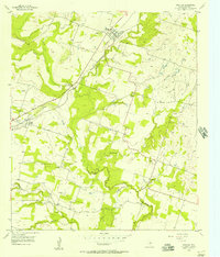
Editions of this 1956 Proctor Map
2 editions found
Other maps of this area

1888 · Hamilton
USGS Topo · 1:125,000

1889 · Brownwood
USGS Topo · 1:125,000

1890 · Stephenville
USGS Topo · 1:125,000

1894 · Hamilton
USGS Topo · 1:125,000

1894 · Eastland
USGS Topo · 1:125,000

1894 · Brownwood
USGS Topo · 1:125,000

1920 · Stephenville
USGS Topo · 1:125,000

1954 · Brownwood
USGS Topo · 1:250,000

1954 · Abilene
USGS Topo · 1:250,000

1956 · Gustine
USGS Topo · 1:62,500