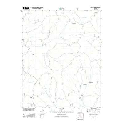
2012 Map of Protem NE
USGS Topo · Published 2012About this map
Hercules and Fairview anchor this portion of the Ozark plateau, where the landscape is defined by a dense network of hollows and ridges. This 2012 survey illustrates a topography shaped by water, with the West Fork Big Creek and East Fork Big Creek draining the southern hills while McAdoo Creek and Brushy Creek cut through the north. The winding path of the Glade Top Trl traverses the higher elevations, providing a modern access route through the Mark Twain National Forest region.
Find a feature on this map
35 named features on this map. Tap any name to fly to it.
Don’t see what you’re looking for? This feature index may not catch every label — zoom into the map to look around manually.
Map Details
Editions of this 2012 Protem NE Map
This is the sole edition of this map. No revisions or reprints were ever made.
Other maps of this area

1936 · Thornfield
USGS Topo · 1:48,000

1936 · Ava
USGS Topo · 1:48,000

1937 · Bradleyville
USGS Topo · 1:48,000

1942 · Ava
USGS Topo · 1:62,500

1943 · Protem
USGS Topo · 1:62,500

1943 · Thornfield
USGS Topo · 1:62,500

1943 · Bradleyville
USGS Topo · 1:62,500

1945 · Ava
USGS Topo · 1:62,500

1945 · Harrison
USGS Topo · 1:250,000

1945 · Thornfield
USGS Topo · 1:62,500