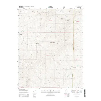
2015 Map of Protem NE
USGS Topo · Published 2015About this map
Mark Twain National Forest dominates this section of the Ozarks, where steep ridges and deep hollows define the local geography. The settlement at Fairview sits in the southwestern quadrant, connected by the high-elevation Glade Top Trl and RD 125-110. This area is characterized by a dense network of family-named landmarks and watercourses, such as Pelham Ridge, Ironside Ridge, and McAdoo Cr.
Find a feature on this map
43 named features on this map. Tap any name to fly to it.
Don’t see what you’re looking for? This feature index may not catch every label — zoom into the map to look around manually.
Map Details
Editions of this 2015 Protem NE Map
This is the sole edition of this map. No revisions or reprints were ever made.
Other maps of this area

1936 · Thornfield
USGS Topo · 1:48,000

1936 · Ava
USGS Topo · 1:48,000

1937 · Bradleyville
USGS Topo · 1:48,000

1942 · Ava
USGS Topo · 1:62,500

1943 · Protem
USGS Topo · 1:62,500

1943 · Thornfield
USGS Topo · 1:62,500

1943 · Bradleyville
USGS Topo · 1:62,500

1945 · Ava
USGS Topo · 1:62,500

1945 · Harrison
USGS Topo · 1:250,000

1945 · Thornfield
USGS Topo · 1:62,500