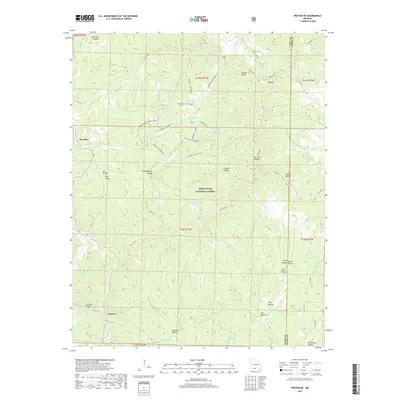
2017 Map of Protem NE
USGS Topo · Published 2017About this map
The Mark Twain National Forest dominates this section of the Ozarks, where the boundary between Taney and Ozark counties follows the high ridgelines and deep hollows. The settlement of Fairview sits near the southwestern corner of the quadrangle, connected to the broader landscape by the historic Glade Top Trl. This area is defined by a dense network of forest roads and trails, many bearing the Bateman family name, such as Bateman - Willie Lee and the Bateman - Boy Scout area. The topography is exceptionally intricate, featuring prominent landmarks like the Pinnacle and Pelham Ridge. Water drainage patterns are centered on the W Fork Big Cr and E Fork Big Cr, which have carved out numerous named features including Goldsbarry Hollow and Terry Hollow. This map captures the intersection of conservation land, rural Ozark settlements, and the legacy of local land use as seen through its distinctively named hollows and ridges.
Find a feature on this map
57 named features on this map. Tap any name to fly to it.
Don’t see what you’re looking for? This feature index may not catch every label — zoom into the map to look around manually.
Map Details
Editions of this 2017 Protem NE Map
This is the sole edition of this map. No revisions or reprints were ever made.
Other maps of this area

1936 · Thornfield
USGS Topo · 1:48,000

1936 · Ava
USGS Topo · 1:48,000

1937 · Bradleyville
USGS Topo · 1:48,000

1942 · Ava
USGS Topo · 1:62,500

1943 · Protem
USGS Topo · 1:62,500

1943 · Thornfield
USGS Topo · 1:62,500

1943 · Bradleyville
USGS Topo · 1:62,500

1945 · Ava
USGS Topo · 1:62,500

1945 · Harrison
USGS Topo · 1:250,000

1945 · Thornfield
USGS Topo · 1:62,500