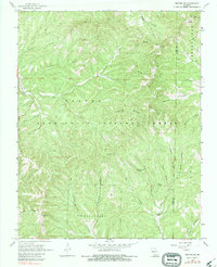
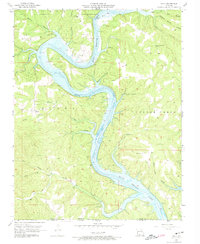
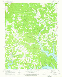
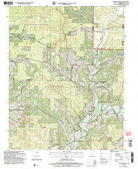
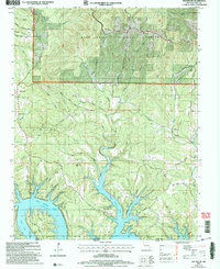
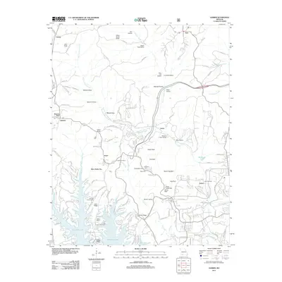
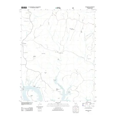
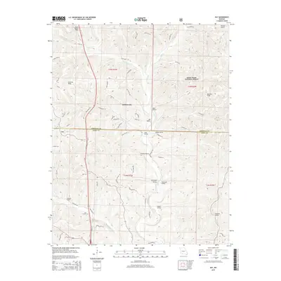
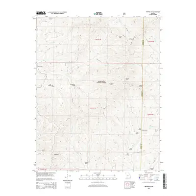
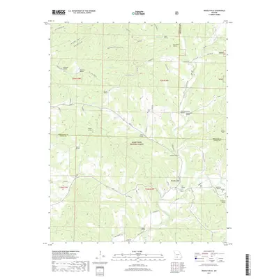
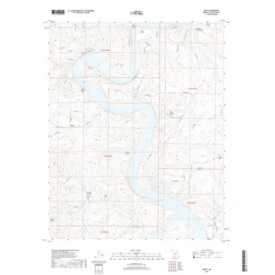
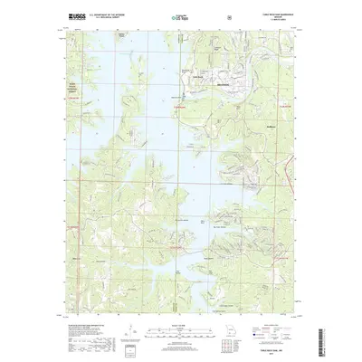
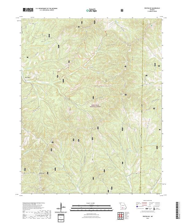
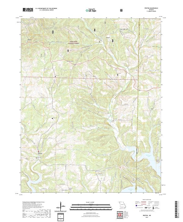
1968 Map of Protem NE
USGS Topo · Published 1983About this map
Beaver and the Mark Twain National Forest dominate this landscape, characterized by a dense network of hollows and ridges along the Taney and Ozark county line. The map illustrates a late 1960s environment where rugged topography dictated settlement patterns, concentrating small communities like Hercules and Fairview along the higher elevations of Ironside Ridge and nearby plateaus. The inclusion of the Caney Lookout Tower and Caney Picnic Area highlights the importance of federal forestry management and early recreation in the Missouri Ozarks.
Find a feature on this map
30 named features on this map. Tap any name to fly to it.
Don’t see what you’re looking for? This feature index may not catch every label — zoom into the map to look around manually.
Map Details
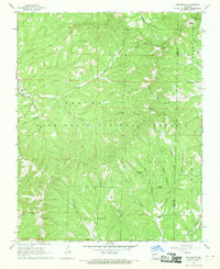
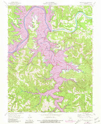
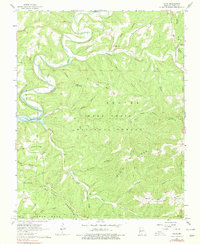
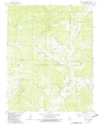
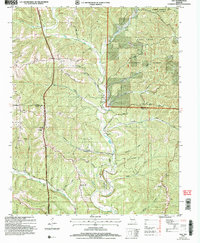
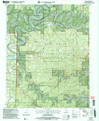
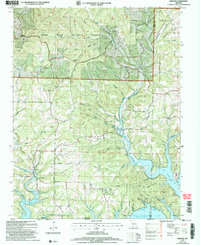
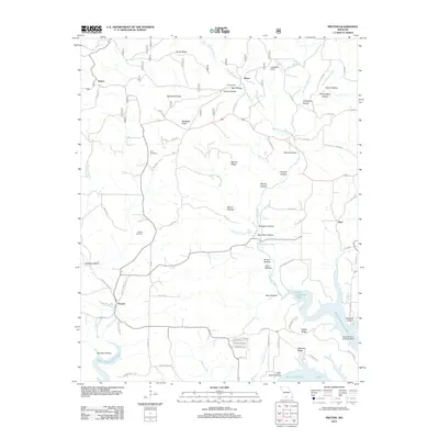
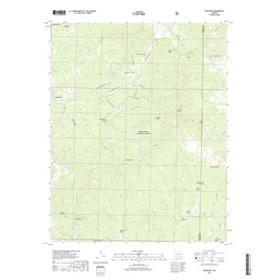
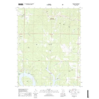
Editions of this 1968 Protem NE Map
2 editions found
Historical Maps of Fairview Through Time
55 maps found

1943 Protem
Taney County, MO

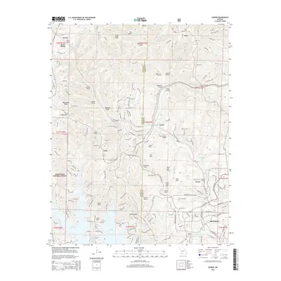
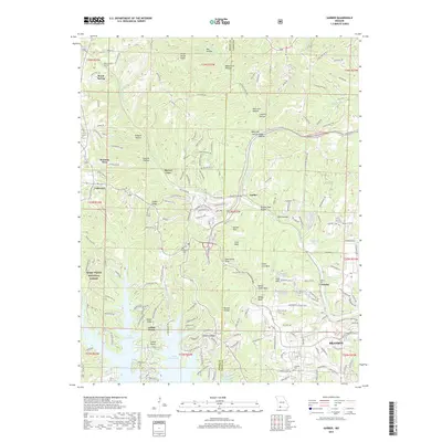
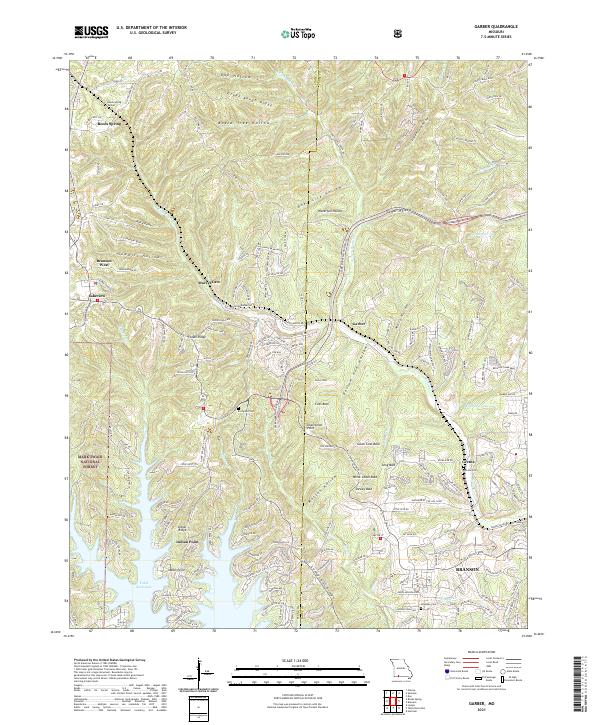
1950 Garber
Taney County, MO
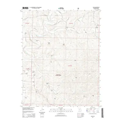
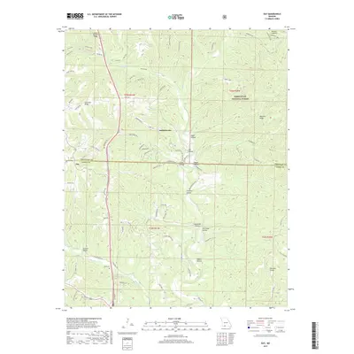
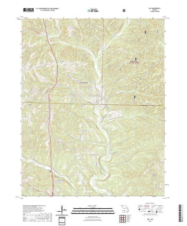
1955 Day
Taney County, MO
1956 Garber
Taney County, MO
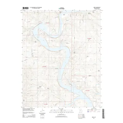
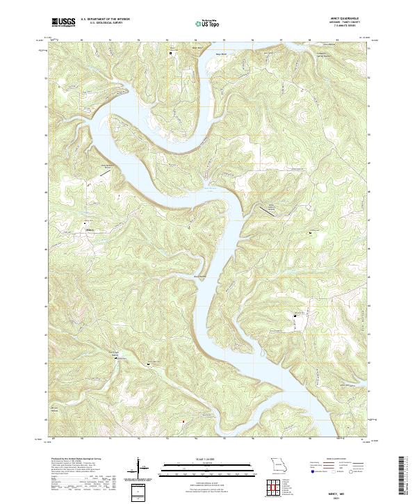
1956 Mincy
Taney County, MO
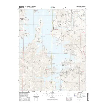
1956 Table Rock Dam
Taney County, MO
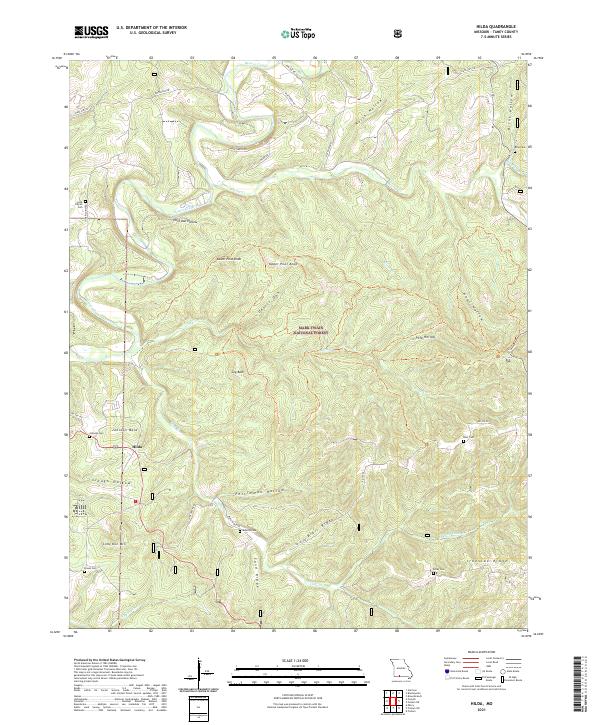
1967 Hilda
Taney County, MO
1968 Protem NE
Taney County, MO
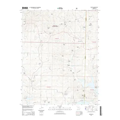
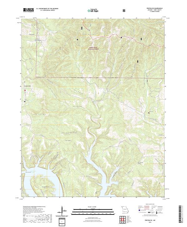
1968 Protem SW
Taney County, MO
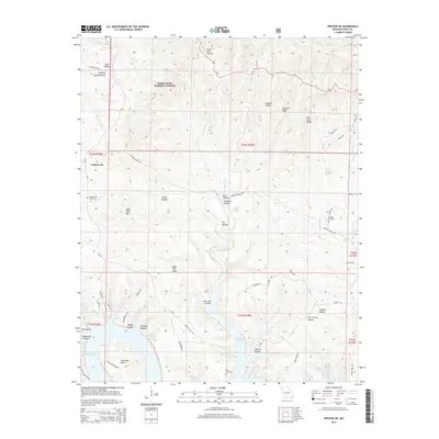
1968 Protem
Taney County, MO
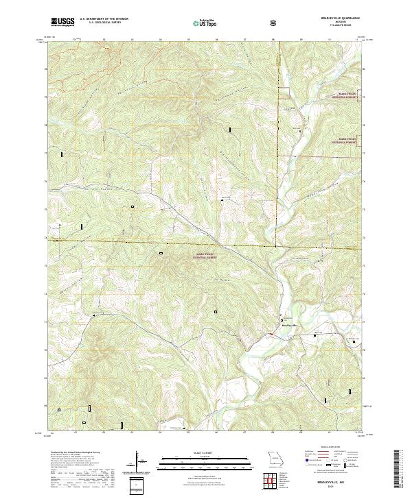
1982 Bradleyville
Taney County, MO
1989 Garber
Taney County, MO
1989 Table Rock Dam
Taney County, MO
2004 Bradleyville
Taney County, MO
2004 Day
Taney County, MO
2004 Hilda
Taney County, MO
2004 Protem NE
Taney County, MO
2004 Protem SW
Taney County, MO
2004 Protem
Taney County, MO
2012 Bradleyville
Taney County, MO
2012 Day
Taney County, MO
2012 Garber
Taney County, MO
2012 Hilda
Taney County, MO
2012 Mincy
Taney County, MO
2012 Protem NE
Taney County, MO
2012 Protem SW
Taney County, MO
2012 Protem
Taney County, MO
2012 Table Rock Dam
Taney County, MO
2015 Bradleyville
Taney County, MO
2015 Day
Taney County, MO
2015 Garber
Taney County, MO
2015 Hilda
Taney County, MO
2015 Mincy
Taney County, MO
2015 Protem NE
Taney County, MO
2015 Protem SW
Taney County, MO
2015 Protem
Taney County, MO
2015 Table Rock Dam
Taney County, MO
2017 Bradleyville
Taney County, MO
2017 Day
Taney County, MO
2017 Garber
Taney County, MO
2017 Hilda
Taney County, MO
2017 Mincy
Taney County, MO
2017 Protem NE
Taney County, MO
2017 Protem SW
Taney County, MO
2017 Protem
Taney County, MO
2017 Table Rock Dam
Taney County, MO
2021 Bradleyville
Taney County, MO
2021 Day
Taney County, MO
2021 Garber
Taney County, MO
2021 Hilda
Taney County, MO
2021 Mincy
Taney County, MO
2021 Protem NE
Taney County, MO
2021 Protem SW
Taney County, MO
2021 Protem
Taney County, MO
2021 Table Rock Dam
Taney County, MO