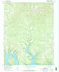
1968 Map of Protem SW
USGS Topo · Published 1970About this map
Bull Shoals Lake and the White River define the southern landscape of this 1960s Taney County survey, where the rising waters created a complex network of inundated hollows and fingers of land. This era shows the region just after the completion of the dam system, which transformed traditional Ozark drainage basins into a vast reservoir. Along the northern reaches, the Mark Twain National Forest preserves a rugged topography of ridges and knobs, including Lone Tree Mountain and Poor Joe Bald.
Find a feature on this map
44 named features on this map. Tap any name to fly to it.
Don’t see what you’re looking for? This feature index may not catch every label — zoom into the map to look around manually.
Map Details
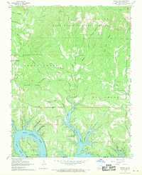
Editions of this 1968 Protem SW Map
2 editions found
Other maps of this area

1893 · Yellville
USGS Topo · 1:125,000

1903 · Yellville
USGS Topo · 1:125,000

1904 · Harrison
USGS Topo · 1:125,000

1905 · Harrison
USGS Topo · 1:125,000

1905 · Yellville
USGS Topo · 1:125,000

1907 · Forsyth
USGS Topo · 1:125,000

1929 · Yellville
USGS Topo · 1:125,000

1943 · Protem
USGS Topo · 1:62,500

1945 · Harrison
USGS Topo · 1:250,000

1949 · Harrison
USGS Topo · 1:250,000