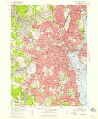
1957 Map of Providence
USGS Topo · Published 1959About this map
The industrial and urban core of Rhode Island is documented here during a period of significant mid-century density, showing the concentrated development of Providence, Pawtucket, and Cranston. The Woonasquatucket River and Moshassuck River corridors are lined with dozens of named settlements like Lymansville, Manton, and Olneyville, illustrating the state's textile and manufacturing legacy. In the southwest, the presence of a Graphite Mine and the State Institutions complex near Howard provides a contrast to the dense residential grids of South Providence and Elmwood. Navigational markers such as Fuller Rock Lighthouse and Sabin Point Lighthouse emphasize the importance of the Providence River for maritime trade. The landscape is also defined by extensive green spaces and legacy burial grounds, including the large Swan Point Cemetery and Roger Williams Park, which served as vital recreational and cultural anchors for the growing population.
Find a feature on this map
227 named features on this map. Tap any name to fly to it.
Don’t see what you’re looking for? This feature index may not catch every label — zoom into the map to look around manually.
Map Details
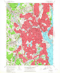
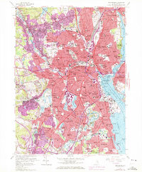
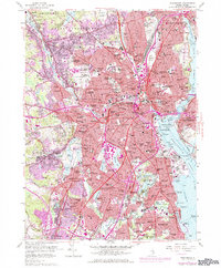
Editions of this 1957 Providence Map
4 editions found
Other maps of this area

1887 · Providence
USGS Topo · 1:62,500

1889 · Providence
USGS Topo · 1:62,500

1889 · Burrillville
USGS Topo · 1:62,500

1890 · Narragansett Bay
USGS Topo · 1:62,500

1890 · Kent
USGS Topo · 1:62,500

1892 · Narragansett Bay
USGS Topo · 1:62,500

1894 · Burrillville
USGS Topo · 1:62,500

1894 · Kent
USGS Topo · 1:62,500

1894 · Providence
USGS Topo · 1:62,500

1915 · Burrillville
USGS Topo · 1:62,500