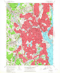
1957 Map of Providence
USGS Topo · Published 1967About this map
Providence and its industrial satellites are captured here in a period of dense post-war development, radiating from the State Capitol and the bustling downtown core. The landscape is a network of tightly packed neighborhoods like Olneyville, South Providence, and Geneva, which grew alongside the Woonasquatucket River and the New York New Haven and Hartford RR. This era shows a city deeply invested in its social and educational infrastructure, evidenced by the sprawling Providence College, Pembroke College, and the massive State Institutions complex to the south.
Find a feature on this map
206 named features on this map. Tap any name to fly to it.
Don’t see what you’re looking for? This feature index may not catch every label — zoom into the map to look around manually.
Map Details
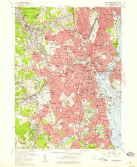
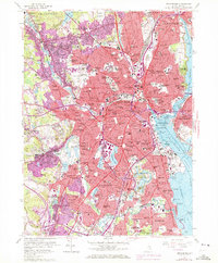
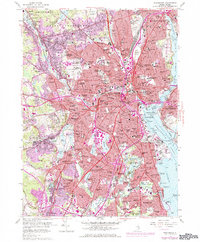
Editions of this 1957 Providence Map
4 editions found
Other maps of this area

1887 · Providence
USGS Topo · 1:62,500

1889 · Providence
USGS Topo · 1:62,500

1889 · Burrillville
USGS Topo · 1:62,500

1890 · Narragansett Bay
USGS Topo · 1:62,500

1890 · Kent
USGS Topo · 1:62,500

1892 · Narragansett Bay
USGS Topo · 1:62,500

1894 · Burrillville
USGS Topo · 1:62,500

1894 · Kent
USGS Topo · 1:62,500

1894 · Providence
USGS Topo · 1:62,500

1915 · Burrillville
USGS Topo · 1:62,500