
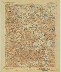
1909 Map of Providence
USGS Topo · Published 1909About this map
The Tradewater River carves a winding path through this western Kentucky landscape, serving as a natural boundary for Crittenden, Union, Webster, and Hopkins counties. At the turn of the century, the coal-rich hills surrounding Providence and Wheatcroft were already heavily influenced by an expanding rail network, including the Illinois Central RR and the Kentucky Valley RR. This survey captures the region's transition from river-dependent trade to a rail-driven economy, evidenced by numerous river crossings like Rices Mill Jericho Ford and Baldwin Ford alongside growing mining towns.
Find a feature on this map
91 named features on this map. Tap any name to fly to it.
Don’t see what you’re looking for? This feature index may not catch every label — zoom into the map to look around manually.
Map Details
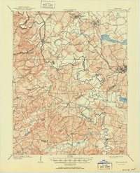
Editions of this 1909 Providence Map
3 editions found
Other maps of this area

1906 · Sebree
USGS Topo · 1:62,500

1907 · Earlington
USGS Topo · 1:48,000

1907 · Morganfield
USGS Topo · 1:62,500

1908 · Princeton
USGS Topo · 1:62,500

1909 · Dawson Springs
USGS Topo · 1:48,000

1909 · Earlington
USGS Topo · 1:62,500

1910 · Princeton
USGS Topo · 1:62,500

1911 · Dawson Springs
USGS Topo · 1:62,500

1916 · Shawneetown
USGS Topo · 1:62,500

1916 · Fords Ferry
USGS Topo · 1:62,500