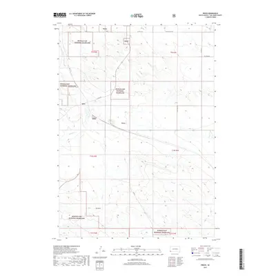
2017 Map of Provo
USGS Topo · Published 2017About this map
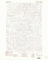
Buffalo Gap National Grassland dominates this corner of Fall River County, where the high plains landscape is defined by wide seasonal drainages. The small settlements of Igloo and Provo sit along the western corridor, connected by local routes such as Ft Igloo Rd. The area's topography is marked by significant intermittent watercourses, including Coal Cr, Cow Cr, and Softwater Cr, which carve through the grasslands and direct the placement of rural roads. To the south, the Hay Draw settlement area provides another anchor for local researchers. The presence of several Bgng military-related labels suggests a specialized use of the landscape integrated with the expansive public lands of the national grassland.
Find a feature on this map
21 named features on this map. Tap any name to fly to it.
Don’t see what you’re looking for? This feature index may not catch every label — zoom into the map to look around manually.
Map Details
Editions of this 2017 Provo Map
This is the sole edition of this map. No revisions or reprints were ever made.
Other maps of this area

1902 · Edgemont
USGS Topo · 1:125,000

1950 · Edgemont
USGS Topo · 1:24,000

1950 · Edgemont SW
USGS Topo · 1:24,000

1950 · Rumford
USGS Topo · 1:24,000

1950 · Flint Hill
USGS Topo · 1:24,000

1955 · Hot Springs
USGS Topo · 1:250,000
1982 · Crowe Dam
USGS Topo · 1:25,000
1982 · Provo
USGS Topo · 1:25,000
1982 · Ardmore
USGS Topo · 1:25,000
1982 · Phister Ranch
USGS Topo · 1:25,000