2021 Map of Provo
USGS Topo · Published 2021About this map
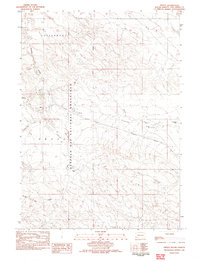
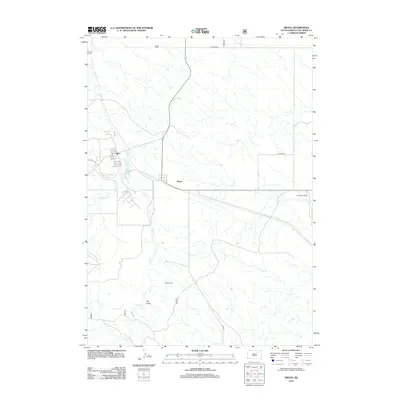
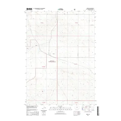
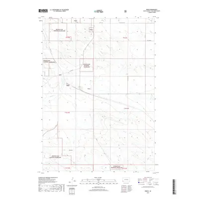
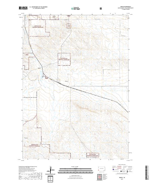
Provo and the nearby settlement of Igloo anchor this landscape within the southern reaches of the Buffalo Gap National Grassland. The area's topography is defined by the drainage networks of Coal Cr, Softwater Cr, and Cow Cr, alongside the distinct depression of Hay Draw. This map reveals a transition from managed federal grasslands to the concentrated road networks near the settlements, including Ft Igloo Rd and S Provo Rd. The presence of Igloo is particularly notable for its association with the Black Hills Ordnance Depot, a legacy reflected in the structured road grid and the designated Bgng (Buffalo Gap National Grassland) parcels that punctuate the prairie.
Find a feature on this map
22 named features on this map. Tap any name to fly to it.
Don’t see what you’re looking for? This feature index may not catch every label — zoom into the map to look around manually.
Map Details
Editions of this 2021 Provo Map
This is the sole edition of this map. No revisions or reprints were ever made.
Historical Maps of Provo Through Time
5 maps found