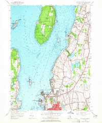
1955 Map of Prudence Island
USGS Topo · Published 1965About this map
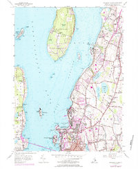
Narragansett Bay dominates this mid-century portrait of coastal Rhode Island, where the landscape is a patchwork of military installations, agriculture, and expanding residential pockets. Extensive U S Naval Reservation lands occupy significant portions of Prudence Island and the coastline near Melville, while the interior of Middletown and Portsmouth retains a dense network of local schools and churches. Genealogical markers are numerous, from the St Columbas Cemetery to schools like Hutchinson Sch and Oliphant Sch that served these growing townships.
Find a feature on this map
95 named features on this map. Tap any name to fly to it.
Don’t see what you’re looking for? This feature index may not catch every label — zoom into the map to look around manually.
Map Details
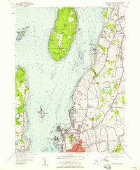
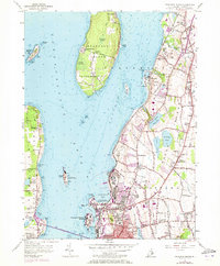
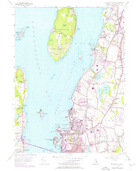
Editions of this 1955 Prudence Island Map
5 editions found
Other maps of this area

1885 · Sakonnet
USGS Topo · 1:62,500

1888 · Fall River
USGS Topo · 1:62,500

1888 · Sakonnet
USGS Topo · 1:62,500

1889 · Newport
USGS Topo · 1:62,500

1890 · Narragansett Bay
USGS Topo · 1:62,500

1892 · Narragansett Bay
USGS Topo · 1:62,500

1893 · Sakonnet
USGS Topo · 1:62,500

1893 · Fall River
USGS Topo · 1:62,500

1894 · Newport
USGS Topo · 1:62,500

1904 · Newport
USGS Topo · 1:62,500