Loading...
Loading map...2024 Map of Pryor
USGS Topo · Published 2024About this map
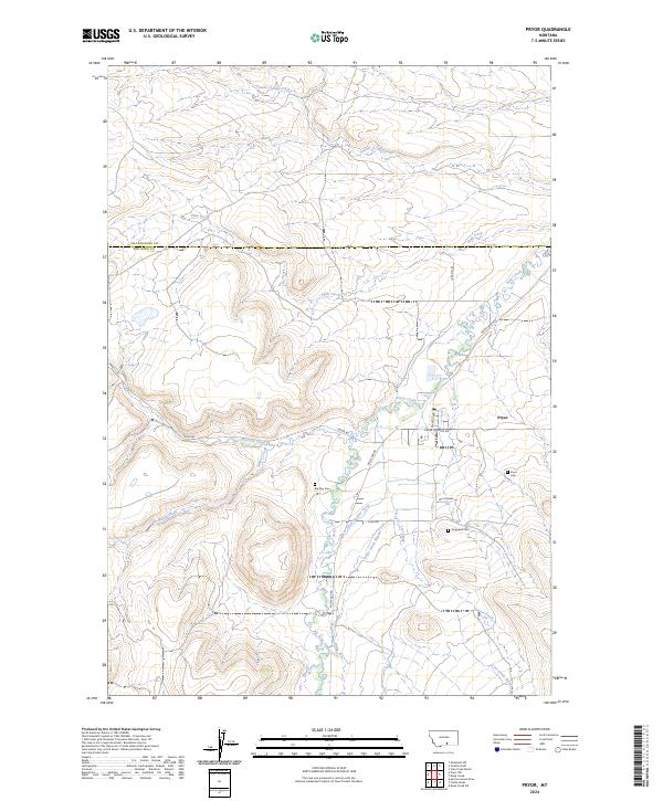
Pryor serves as the central hub of this Crow Reservation landscape, where the confluence of agriculture and community history is written in the local irrigation network. The essential role of water in this Big Horn County region is evidenced by the Pryor Ditch Number Three and Pryor Ditch Number Two, which draw from Pryor Creek to sustain the valley. For those tracing family history, the map identifies several local burial sites, including the Pryor Cem and the Singgood Cem.
Find a feature on this map
29 named features on this map. Tap any name to fly to it.
Don’t see what you’re looking for? This feature index may not catch every label — zoom into the map to look around manually.
Map Details
Date Portrayed2024
Date Published2024
PublisherU.S. Geological Survey
Map TypeTopographic
Scale1:24000
Physical Dimensions24 x 29 inches
Editions of this 2024 Pryor Map
This is the sole edition of this map. No revisions or reprints were ever made.
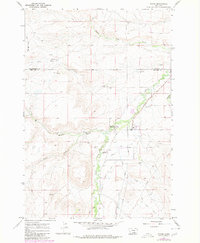
Historical Maps of Pryor Through Time
Featured Locations
Source Details
SourceU.S. Geological Survey
CopyrightPublic Domain