
1956 Map of Pullman
USGS Topo · Published 1958About this map
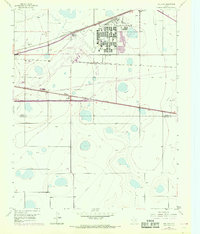
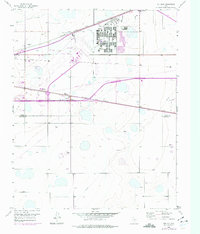
The Amarillo Air Force Base dominates the northeastern landscape of this mid-century survey, reflecting the strategic importance of the Texas Panhandle during the Cold War. Adjacent to the base, the Amarillo Air Terminal and English Field serve as a hub for aviation, supported by specialized infrastructure like the Radio Range Station and a Control Tower. The map captures a high-plains landscape where military and civil aviation intersect with a robust rail network. Three major lines converge in the area: the Panhandle and Santa Fe, the Fort Worth and Denver (Burlington), and the Chicago Rock Island and Pacific. Small communities like Pullman and Folsom are tightly integrated into this transit corridor, punctuated by industrial landmarks such as Grain Elevators that signal the region's agricultural foundations. The presence of a Racetrack and Highland Park Sch indicates the residential and social growth expanding from nearby urban centers.
Find a feature on this map
24 named features on this map. Tap any name to fly to it.
Don’t see what you’re looking for? This feature index may not catch every label — zoom into the map to look around manually.
Map Details
Editions of this 1956 Pullman Map
3 editions found
Other maps of this area

1934 · Cliffside
USGS Topo · 1:62,500

1936 · Cliffside
USGS Topo · 1:62,500

1953 · Pleasant Valley
USGS Topo · 1:24,000

1953 · Mayer
USGS Topo · 1:24,000

1953 · Sevenmile Basin
USGS Topo · 1:24,000

1954 · Amarillo
USGS Topo · 1:250,000

1956 · Amarillo East
USGS Topo · 1:24,000

1956 · Washburn
USGS Topo · 1:24,000

1956 · Thomas Ranch
USGS Topo · 1:24,000

1958 · Amarillo
USGS Topo · 1:250,000