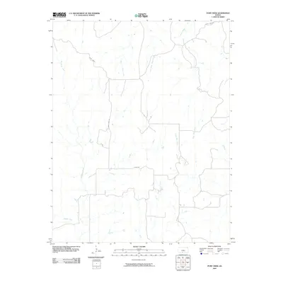
2009 Map of Pump Creek
USGS Topo · Published 2009About this map
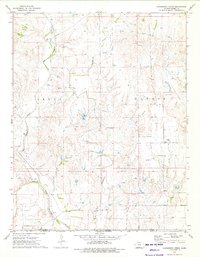
Big Sandy Creek and Pump Creek define the drainage of this rural Barber County landscape, where the prairie is carved by a dense network of intermittent waterways. The terrain is structured by a grid of local access roads such as Julian Rd and Sandy Creek Rd, which provide the primary framework for the scattered agricultural homesteads of the region. This 2009 survey reveals a system of small tributaries including Little Bear Creek, West Cedar Creek, and Hackberry Creek that flow toward larger southern basins. To the north, the naming of Crazy Horse and Bitter Creek Rd suggests the local character and history of these upland plains. The map is a precise record of the hydrological and transportation patterns before recent changes in land management and rural development altered the high plains footprint.
Find a feature on this map
12 named features on this map. Tap any name to fly to it.
Don’t see what you’re looking for? This feature index may not catch every label — zoom into the map to look around manually.
Map Details
Editions of this 2009 Pump Creek Map
This is the sole edition of this map. No revisions or reprints were ever made.
Other maps of this area

1891 · Medicine Lodge
USGS Topo · 1:125,000

1893 · Medicine Lodge
USGS Topo · 1:125,000

1955 · Pratt
USGS Topo · 1:250,000

1959 · Pratt
USGS Topo · 1:250,000

1968 · Sun City SW
USGS Topo · 1:24,000

1973 · Hardtner NW
USGS Topo · 1:24,000
1973 · Pump Creek
USGS Topo · 1:24,000
1973 · Deerhead
USGS Topo · 1:24,000
1973 · Lake City
USGS Topo · 1:24,000
1973 · Hackberry Creek
USGS Topo · 1:24,000