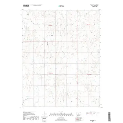
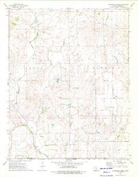
2018 Map of Pump Creek
USGS Topo · Published 2018About this map
Pump Cr and its many tributaries carve a network of drainage basins across this portion of Barber County. The landscape is defined by its watershed geography, featuring the headwaters and branches of Big Sandy Cr, Bitter Cr, and Little Mule Cr. Human activity is primarily traced through a sparse grid of rural roads that follow the section lines or the natural contours of the stream valleys. Significant routes such as Lake City Rd and Union Chapel Rd provide access to the interior, while Cottage Creek Rd and Bitter Creek Rd serve the surrounding cattle and agricultural lands. The presence of Deadman Cr and Hackberry Cr further illustrates the complex hydrological system that dictates the placement of transit and land use in this western Kansas terrain.
Find a feature on this map
23 named features on this map. Tap any name to fly to it.
Don’t see what you’re looking for? This feature index may not catch every label — zoom into the map to look around manually.
Map Details
Editions of this 2018 Pump Creek Map
This is the sole edition of this map. No revisions or reprints were ever made.
Other maps of this area

1891 · Medicine Lodge
USGS Topo · 1:125,000

1893 · Medicine Lodge
USGS Topo · 1:125,000

1955 · Pratt
USGS Topo · 1:250,000

1959 · Pratt
USGS Topo · 1:250,000

1968 · Sun City SW
USGS Topo · 1:24,000

1973 · Hardtner NW
USGS Topo · 1:24,000
1973 · Pump Creek
USGS Topo · 1:24,000
1973 · Deerhead
USGS Topo · 1:24,000
1973 · Lake City
USGS Topo · 1:24,000
1973 · Hackberry Creek
USGS Topo · 1:24,000