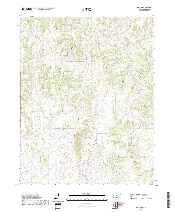
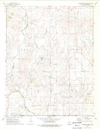
2022 Map of Pump Creek
USGS Topo · Published 2022About this map
Deeply dissected prairie drainage defines this portion of Barber County, where a network of seasonal streams like Big Sandy Cr and Little Mule Cr carve through the Kansas landscape. The terrain is characterized by intricate contour patterns surrounding Crazy Horse and the headwaters of Pump Cr. Unlike more densely populated regions, this area maintains a pastoral character defined by section-line roads and named rural routes such as Lake City Rd and Union Chapel Rd.
Find a feature on this map
23 named features on this map. Tap any name to fly to it.
Don’t see what you’re looking for? This feature index may not catch every label — zoom into the map to look around manually.
Map Details
Editions of this 2022 Pump Creek Map
This is the sole edition of this map. No revisions or reprints were ever made.
Other maps of this area

1891 · Medicine Lodge
USGS Topo · 1:125,000

1893 · Medicine Lodge
USGS Topo · 1:125,000

1955 · Pratt
USGS Topo · 1:250,000

1959 · Pratt
USGS Topo · 1:250,000

1968 · Sun City SW
USGS Topo · 1:24,000

1973 · Hardtner NW
USGS Topo · 1:24,000
1973 · Pump Creek
USGS Topo · 1:24,000
1973 · Deerhead
USGS Topo · 1:24,000
1973 · Lake City
USGS Topo · 1:24,000
1973 · Hackberry Creek
USGS Topo · 1:24,000