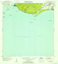
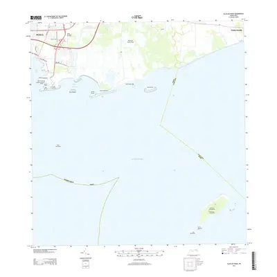
1952 Map of Punta Cuchara
USGS Topo · Published 1952About this map
The coastal fringe of southern Puerto Rico west of Ponce reveals an industrial and agricultural landscape in the early 1950s, dominated by the sugar and salt trades. Along the shore of the Caribbean Sea, the American Railroad of Porto Rico and the Porto Rico Linea track the coastline, connecting the salt evaporation ponds at Lechos de Evaporacion de Sal and the marshes of Laguna de las Salinas to the port at Playa de Ponce.
Find a feature on this map
33 named features on this map. Tap any name to fly to it.
Don’t see what you’re looking for? This feature index may not catch every label — zoom into the map to look around manually.
Map Details
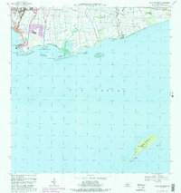
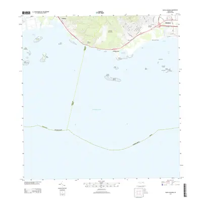
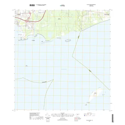
Editions of this 1952 Punta Cuchara Map
2 editions found
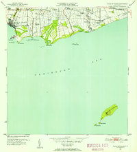
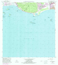
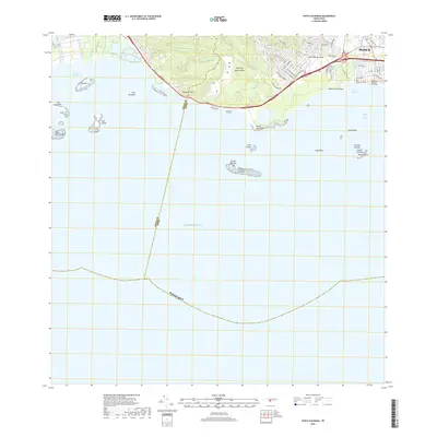
Historical Maps of Villa Laramia Through Time
23 maps found

1945 Playa De Ponce
Ponce Municipio, PR

1946 Punta Cuchara
Ponce Municipio, PR

1947 Adjuntas SE
Ponce Municipio, PR

1947 Jayuya SO
Ponce Municipio, PR

1947 Penuelas NE
Ponce Municipio, PR

1947 Penuelas SE
Ponce Municipio, PR

1947 Playa De Ponce NO
Ponce Municipio, PR

1947 Ponce NO
Ponce Municipio, PR

1947 Ponce SO
Ponce Municipio, PR

1947 Punta Gughara NE
Ponce Municipio, PR
1952 Playa De Ponce
Ponce Municipio, PR

1952 Punta Cuchara
Ponce Municipio, PR

1958 Playa De Ponce
Ponce Municipio, PR

1958 Punta Cucharas
Ponce Municipio, PR

1962 Playa De Ponce
Ponce Municipio, PR
1962 Punta Cucharas
Ponce Municipio, PR
1970 Playa De Ponce
Ponce Municipio, PR
2013 Playa De Ponce
Ponce Municipio, PR
2013 Punta Cucharas
Ponce Municipio, PR
2018 Playa De Ponce
Ponce Municipio, PR
2018 Punta Cucharas
Ponce Municipio, PR

2024 Playa De Ponce
Ponce Municipio, PR

2024 Punta Cucharas
Ponce Municipio, PR