1960 Map of Punta Guayanes
USGS Topo · Published 1988About this map
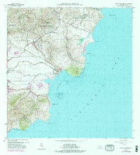
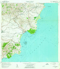
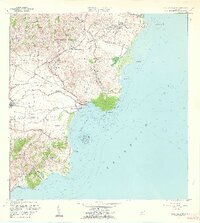
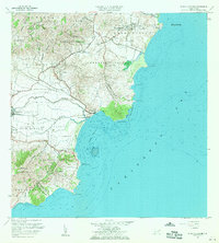
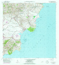
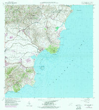
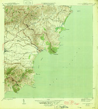
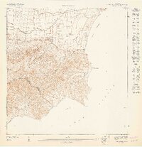
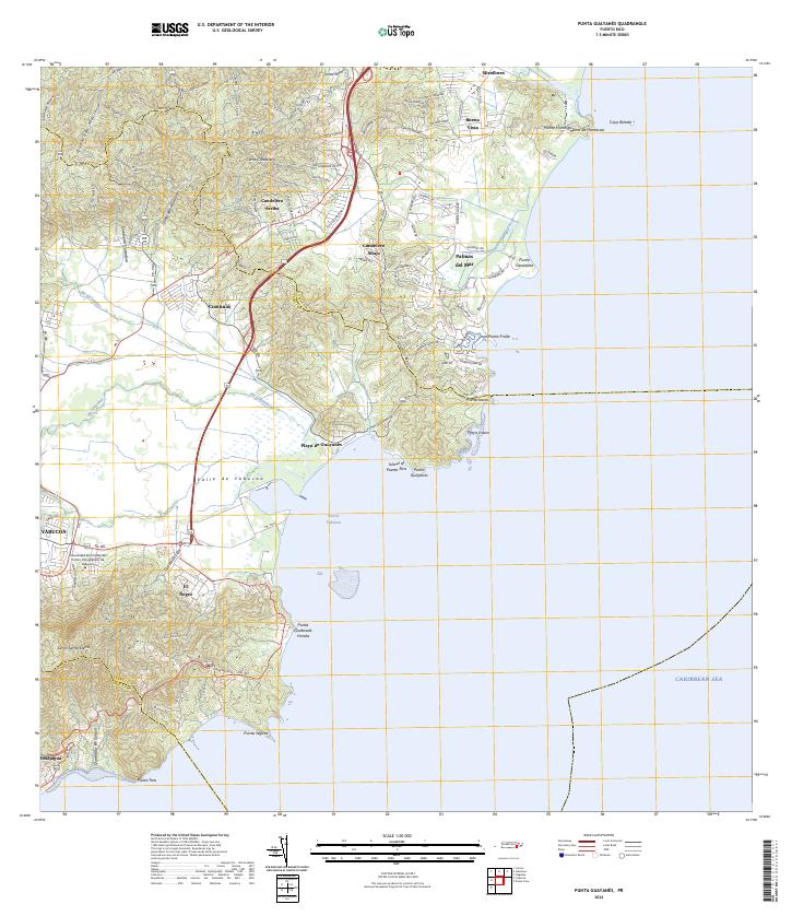
Central Roig and the surrounding sugar production landscape anchor this coastal survey of southeastern Puerto Rico. The industrial site stands as a primary landmark west of Puerto Yabucoa, where the Caño de Santiago and Río Guayanés meet the Caribbean. The topography transitions from the coastal plains of Valle de Juan Martín to the prominent heights of Cerro Santa Elena and Cerro Candelero. Educational and social hubs are clearly marked, including the Escuela Segunda Unidad Luciano Ríos and the Escuela Eugenio María de Hostos near Playa de Guayanés. Along the shoreline, distinctive maritime features such as Cayo Batata and the rocky points of Punta Yeguas and Punta Guayanés define the jagged Atlantic interface during a period of significant local development.
Find a feature on this map
47 named features on this map. Tap any name to fly to it.
Don’t see what you’re looking for? This feature index may not catch every label — zoom into the map to look around manually.
Map Details
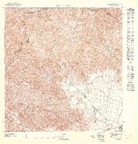
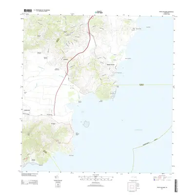
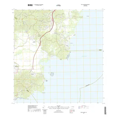
Editions of this 1960 Punta Guayanes Map
6 editions found
Historical Maps of Urbanización Arboleda Through Time
9 maps found
1946 Punta Guayanes
Yabucoa Municipio, PR
1947 Punta Guayanes NO
Yabucoa Municipio, PR
1947 Punta Guayanes SO
Yabucoa Municipio, PR
1947 Yabucoa NE
Yabucoa Municipio, PR

1952 Punta Guayanes
Yabucoa Municipio, PR
1960 Punta Guayanes
Yabucoa Municipio, PR
2013 Punta Guayanes
Yabucoa Municipio, PR
2018 Punta Guayanes
Yabucoa Municipio, PR
2024 Punta Guayanes
Yabucoa Municipio, PR
Featured Locations
- Palladio, Humacao
- Urbanización Arboleda, Humacao
- Mar y Palmas, Humacao
- Sector El Guano, Yabucoa
- Sector Soto Monte, Yabucoa