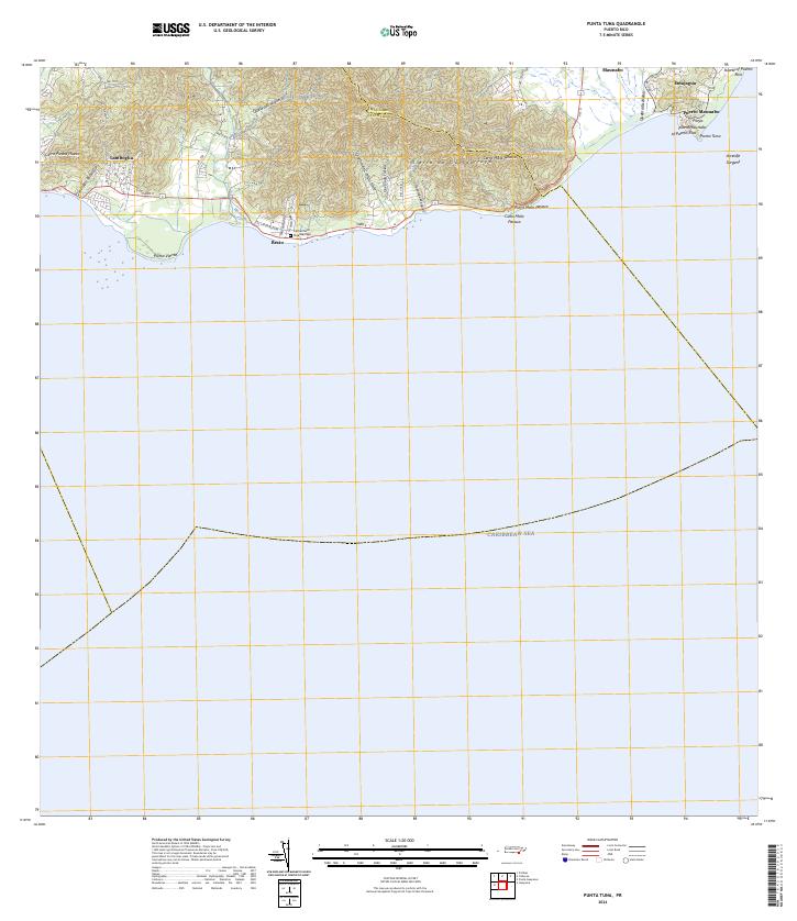
2024 Map of Punta Tuna
USGS Topo · Published 2024About this map
The Sierra de Guardarraya dominates the northern coastal landscape of this Puerto Rican quadrangle, where the steep terrain of Cerro Mala Pascua and Cerro Piedra Hueca meets the Caribbean Sea. Settlement is concentrated along the coastal corridor, particularly in Maunabo and the nearby villages of Emajagua and Recio. The transport network follows the narrow strip of flat land between the mountains and the shore, notably along Carr 3 and PR-3.
Find a feature on this map
38 named features on this map. Tap any name to fly to it.
Don’t see what you’re looking for? This feature index may not catch every label — zoom into the map to look around manually.
Map Details
Editions of this 2024 Punta Tuna Map
This is the sole edition of this map. No revisions or reprints were ever made.
Other maps of this area

1945 · Punta Tuna
USGS Topo · 1:30,000

1946 · Patillas
USGS Topo · 1:30,000

1946 · Punta Guayanes
USGS Topo · 1:30,000

1946 · Yabucoa
USGS Topo · 1:30,000

1946 · Guayama
USGS Topo · 1:30,000

1947 · Yabucoa SO
USGS Topo · 1:10,000
1947 · Guayama NE
USGS Topo · 1:10,000
1947 · Punta Tuna NO
USGS Topo · 1:10,000
1947 · Yabucoa SE
USGS Topo · 1:10,000
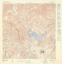
1947 · Patillas SE
USGS Topo · 1:10,000
Featured Places
- Sector Higuero, Patillas
- Sector María Marisca, Patillas
- Sector Bordaleza, Maunabo
- Barro Blanco, Patillas
- Ríos, Patillas