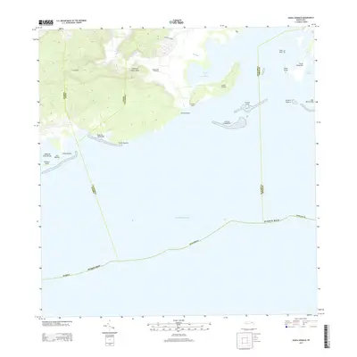
2013 Map of Punta Verraco
USGS Topo · Published 2013About this map
Central San Francisco stands as a primary landmark in this coastal region of the Island of Puerto Rico, where the Río Yauco meets the sea. The landscape is defined by its complex shoreline, characterized by numerous points such as Punta Verraco and Punta Ventana, alongside the sheltered waters of the Puerto de Guayanilla. Settlement patterns include the inland community of La Covana and the industrial-agricultural significance implied by the sugar processing legacy of the central.
Find a feature on this map
31 named features on this map. Tap any name to fly to it.
Don’t see what you’re looking for? This feature index may not catch every label — zoom into the map to look around manually.
Map Details
Editions of this 2013 Punta Verraco Map
This is the sole edition of this map. No revisions or reprints were ever made.
Other maps of this area

1937 · Sabana Grande
USGS Topo · 1:25,000

1938 · Guanica
USGS Topo · 1:30,000

1941 · Sabana Grande
USGS Topo · 1:30,000

1946 · Punta Cuchara
USGS Topo · 1:30,000

1946 · Yauco
USGS Topo · 1:30,000

1946 · Punta Verraco
USGS Topo · 1:30,000

1946 · Penuelas
USGS Topo · 1:30,000
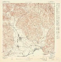
1947 · Yauco SE
USGS Topo · 1:10,000
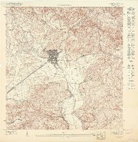
1947 · Yauco SO
USGS Topo · 1:10,000
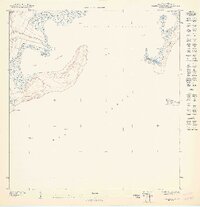
1947 · Punta Verraco NE
USGS Topo · 1:10,000