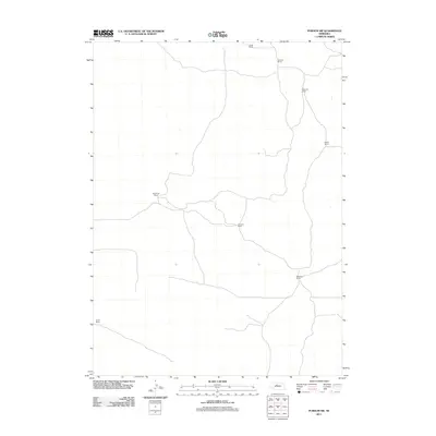
2011 Map of Purdum SW
USGS Topo · Published 2011About this map
The remote ranching landscape of Cherry County, Nebraska, is defined by long-established family landholdings and an intricate network of winding secondary roads. This 2011 survey details the vast pastoral tracts of the Sandhills, where named outposts like McCreath Ranch and Wychoff Ranch in the north transition toward Maesburg Ranch and Atkinson Ranch in the central reaches. The spatial distribution of these landmarks, including McMillen Ranch and Hanks Ranch, illustrates the persistence of large-scale cattle operations in a region where few formal towns exist. Researchers of Nebraska's agricultural history can trace the connectivity between these scattered homesteads, including Fackler Ranch and Corkin Ranch, noting the sparse water resources and distinct topography that shaped this section of the state.
Find a feature on this map
8 named features on this map. Tap any name to fly to it.
Don’t see what you’re looking for? This feature index may not catch every label — zoom into the map to look around manually.
Map Details
Editions of this 2011 Purdum SW Map
This is the sole edition of this map. No revisions or reprints were ever made.
Other maps of this area

1948 · Thedford
USGS Topo · 1:62,500

1948 · Halsey
USGS Topo · 1:62,500

1948 · Seneca 4
USGS Topo · 1:62,500

1949 · Seneca 4
USGS Topo · 1:62,500

1949 · Purdum
USGS Topo · 1:62,500

1950 · Thedford
USGS Topo · 1:62,500

1950 · Halsey
USGS Topo · 1:62,500

1951 · Purdum
USGS Topo · 1:62,500

1954 · North Platte
USGS Topo · 1:250,000

1956 · North Platte
USGS Topo · 1:250,000