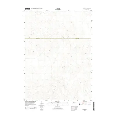
2014 Map of Purdum SW
USGS Topo · Published 2014About this map
Sandhills topography and the jurisdictional boundary between Cherry Co and Thomas Co characterize this segment of the Nebraska plains. The terrain is defined by a dense and intricate pattern of dunes and depressions, typical of the central Nebraska ranching country. While human-named landmarks are sparse on this specific quadrangle, the precise elevation contours trace the complex relief of the land as it existed in the early twenty-first century. The line separating Cherry Co to the north from Thomas Co to the south provides a clear reference for researchers studying regional property lines and administrative divisions in this sparsely populated interior.
Find a feature on this map
1 named feature on this map. Tap any name to fly to it.
Don’t see what you’re looking for? This feature index may not catch every label — zoom into the map to look around manually.
Map Details
Editions of this 2014 Purdum SW Map
This is the sole edition of this map. No revisions or reprints were ever made.
Other maps of this area

1948 · Thedford
USGS Topo · 1:62,500

1948 · Halsey
USGS Topo · 1:62,500

1948 · Seneca 4
USGS Topo · 1:62,500

1949 · Seneca 4
USGS Topo · 1:62,500

1949 · Purdum
USGS Topo · 1:62,500

1950 · Thedford
USGS Topo · 1:62,500

1950 · Halsey
USGS Topo · 1:62,500

1951 · Purdum
USGS Topo · 1:62,500

1954 · North Platte
USGS Topo · 1:250,000

1956 · North Platte
USGS Topo · 1:250,000