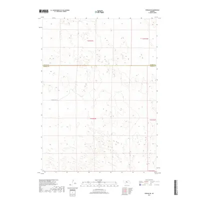
2017 Map of Purdum SW
USGS Topo · Published 2017About this map
The boundary between Cherry Co and Thomas Co bisects this remote section of the Nebraska Sandhills, an area defined by its rolling topography and sparse infrastructure. The landscape is characterized by a dense network of natural depressions and dunes, showing a terrain shaped by wind and sparse vegetation rather than human development. Only one named thoroughfare, E Antelope Valley Rd, appears in the southwestern portion of the sheet, providing rare access through the complex of hillocks. This survey captures the region during a period of modern ranching and conservation, where large-scale land management is organized by township and range lines like t24n r27w and t25n r27w. The absence of schools, churches, or named settlements highlights the enduring isolation of this part of the Great Plains.
Find a feature on this map
7 named features on this map. Tap any name to fly to it.
Don’t see what you’re looking for? This feature index may not catch every label — zoom into the map to look around manually.
Map Details
Editions of this 2017 Purdum SW Map
This is the sole edition of this map. No revisions or reprints were ever made.
Other maps of this area

1948 · Thedford
USGS Topo · 1:62,500

1948 · Halsey
USGS Topo · 1:62,500

1948 · Seneca 4
USGS Topo · 1:62,500

1949 · Seneca 4
USGS Topo · 1:62,500

1949 · Purdum
USGS Topo · 1:62,500

1950 · Thedford
USGS Topo · 1:62,500

1950 · Halsey
USGS Topo · 1:62,500

1951 · Purdum
USGS Topo · 1:62,500

1954 · North Platte
USGS Topo · 1:250,000

1956 · North Platte
USGS Topo · 1:250,000