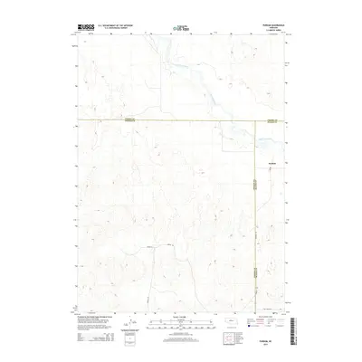
2014 Map of Purdum
USGS Topo · Published 2014About this map
The settlement of Purdum sits at the junction of three Nebraska counties, occupying a unique geography where Cherry, Thomas, and Blaine counties meet. The landscape is defined by the winding course of the North Loup River as it cuts through the characteristic terrain of the region. This 2014 survey captures the rural infrastructure of the area, centered around the local Po and a network of named local routes including Purdum Ave and Ryman Ln.
Find a feature on this map
11 named features on this map. Tap any name to fly to it.
Don’t see what you’re looking for? This feature index may not catch every label — zoom into the map to look around manually.
Map Details
Editions of this 2014 Purdum Map
This is the sole edition of this map. No revisions or reprints were ever made.
Other maps of this area

1948 · Halsey
USGS Topo · 1:62,500

1949 · Purdum
USGS Topo · 1:62,500

1949 · Koshopah
USGS Topo · 1:62,500

1950 · Halsey
USGS Topo · 1:62,500

1951 · Dunning
USGS Topo · 1:62,500

1951 · Purdum
USGS Topo · 1:62,500

1951 · Koshopah
USGS Topo · 1:62,500

1954 · North Platte
USGS Topo · 1:250,000

1956 · North Platte
USGS Topo · 1:250,000

1957 · North Platte
USGS Topo · 1:250,000