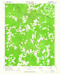
1963 Map of Purdy
USGS Topo · Published 1964About this map
The Nottoway River defines the northern boundary of this landscape, carving a winding path through the borderlands of Sussex and Greenesville counties in the early 1960s. The region is characterized by an intricate drainage system of swamps and creeks, including Otterdam Swamp, Moores Swamp, and Cottail Creek, which intersect the agricultural and timbered terrain. The Norfolk and Western railway cuts through the center of the sheet, providing a vital transportation artery for the rural community of Purdy. Local life centers around scattered crossroad settlements and small rural institutions. Researchers will find several landmark churches such as Mt Pleasant Ch, Gideon Ch, and Little Shiloh Ch, alongside the Mayo Sch and family-named sites like Cowie Cem and Harrison Cem. The presence of a Jeep Trail suggests the persistence of traditional movement patterns through the dense woodlands and swampy lowlands of south-central Virginia.
Find a feature on this map
27 named features on this map. Tap any name to fly to it.
Don’t see what you’re looking for? This feature index may not catch every label — zoom into the map to look around manually.
Map Details
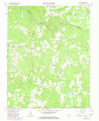
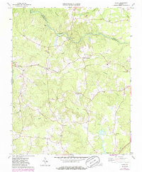
Editions of this 1963 Purdy Map
3 editions found
Other maps of this area

1919 · Jarratt
USGS Topo · 1:62,500

1919 · Mc Kenney
USGS Topo · 1:48,000

1919 · Emporia
USGS Topo · 1:62,500

1919 · Arringdale
USGS Topo · 1:48,000

1920 · Arringdale
USGS Topo · 1:62,500

1921 · Mc Kenney
USGS Topo · 1:62,500

1942 · Arringdale
USGS Topo · 1:62,500

1942 · Emporia
USGS Topo · 1:62,500

1943 · Mc Kenney
USGS Topo · 1:62,500

1951 · Jarratt
USGS Topo · 1:62,500